UN/LOCODE hub · Japan
JPZIS

Aizumisato, Fukushima

37.4500°, 139.8333°
1
Transport functions

Transport Functions

Multimodal
UN/LOCODE

Hub Profile

Region
07
GeoNames

Location

Location of JPZIS
Natural Earth 10m (public domain) · 07 · JPZIS · 37.45, 139.83GoogleOSMYandex

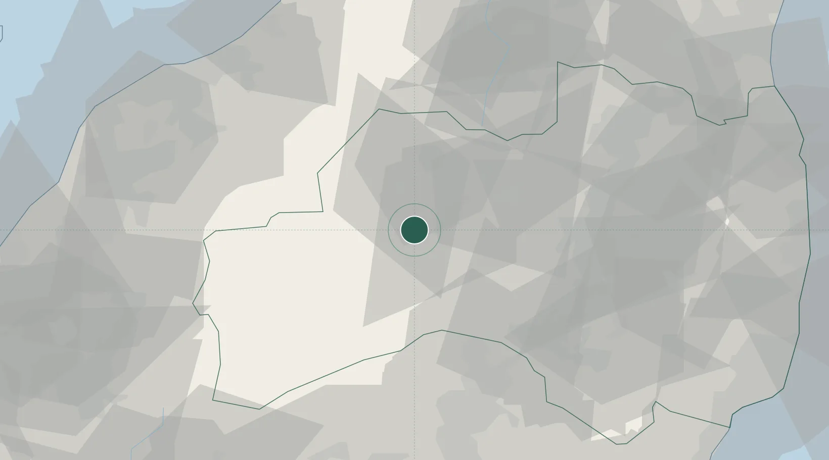
Nearby Logistics Neighbours

Cities
  1. 1Aizuwakamatsu12 km
  2. 2Bandai, Fukushima17 km
  3. 3Aizubange, Fukushima22 km
  4. 4Kitakata, Fukushima22 km
  5. 5Shirakawa49 km
Nearest neighbours — logibook spatial index (haversine) over the source coordinates
Ports
  1. 1Eastern Part Of Niigata-Ko82 km
  2. 2Niigata Ko86 km
  3. 3Soma107 km
  4. 4Onahama Ko111 km
  5. 5Kashiwazaki114 km
Nearest neighbours — logibook spatial index (haversine) over the source coordinates
Airports
  1. 1Fukushima Airport58 km
  2. 2Niigata Airport85 km
  3. 3Utsunomiya Airport104 km
  4. 4Yamagata Airport117 km
  5. 5Sendai Airport122 km
Nearest neighbours — logibook spatial index (haversine) over the source coordinates
DatabookThe Record of Consolidated Knowledge
Japan beyond logistics?
Browse databook

All Sources

LocationsUN/LOCODE
UN/LOCODE — free
Portsthe NGA World Port Index
Public domain (US gov)
AirportsOurAirports
Public domain
Trade Zonesthe World Bank SEZ database
CC BY 4.0
Trade ZonesOpen Zone Map
CC BY
← Japan locations