UN/LOCODE hub · Japan
JPKQT

Kitakata, Fukushima

37.6500°, 139.8667°
1
Transport functions

Transport Functions

Multimodal
UN/LOCODE

Hub Profile

Region
07
GeoNames

Location

Location of JPKQT
Natural Earth 10m (public domain) · 07 · JPKQT · 37.65, 139.87GoogleOSMYandex

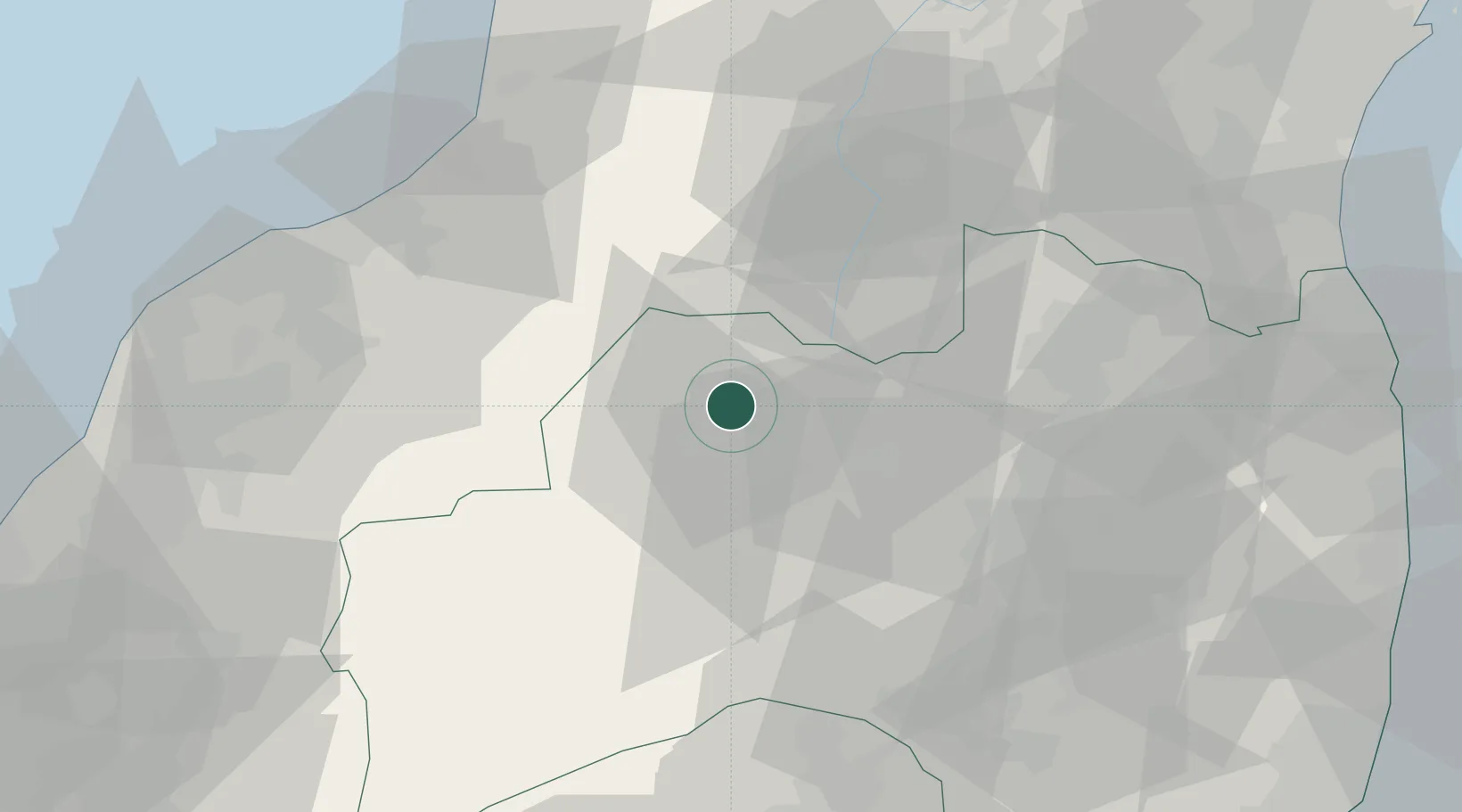
Nearby Logistics Neighbours

Cities
  1. 1Aizubange, Fukushima4 km
  2. 2Bandai, Fukushima15 km
  3. 3Aizumisato, Fukushima22 km
  4. 4Aizuwakamatsu24 km
  5. 5Yonezawa37 km
Nearest neighbours — logibook spatial index (haversine) over the source coordinates
Ports
  1. 1Eastern Part Of Niigata-Ko69 km
  2. 2Niigata Ko78 km
  3. 3Soma97 km
  4. 4Kashiwazaki120 km
  5. 5Onahama Ko121 km
Nearest neighbours — logibook spatial index (haversine) over the source coordinates
Airports
  1. 1Fukushima Airport69 km
  2. 2Niigata Airport74 km
  3. 3Yamagata Airport96 km
  4. 4Sendai Airport107 km
  5. 5Utsunomiya Airport126 km
Nearest neighbours — logibook spatial index (haversine) over the source coordinates
DatabookThe Record of Consolidated Knowledge
Japan beyond logistics?
Browse databook

All Sources

LocationsUN/LOCODE
UN/LOCODE — free
Portsthe NGA World Port Index
Public domain (US gov)
AirportsOurAirports
Public domain
Trade Zonesthe World Bank SEZ database
CC BY 4.0
Trade ZonesOpen Zone Map
CC BY
← Japan locations