Channel & Berth Profile
Facilities & Capabilities
Container—
Ro-Ro—
Liquid bulk—
Dry bulk—
Oil terminal—
Break bulk—
Dry dock—
Repairs—
Bunkering—
Rail linkYES
Dangerous cargo—
ISPS security—
Harbour Specifications
Harbour size
Very Small
Harbour type
Open Roadstead
Shelter
Poor
Water body
North Pacific Ocean
Tidal range
4 m
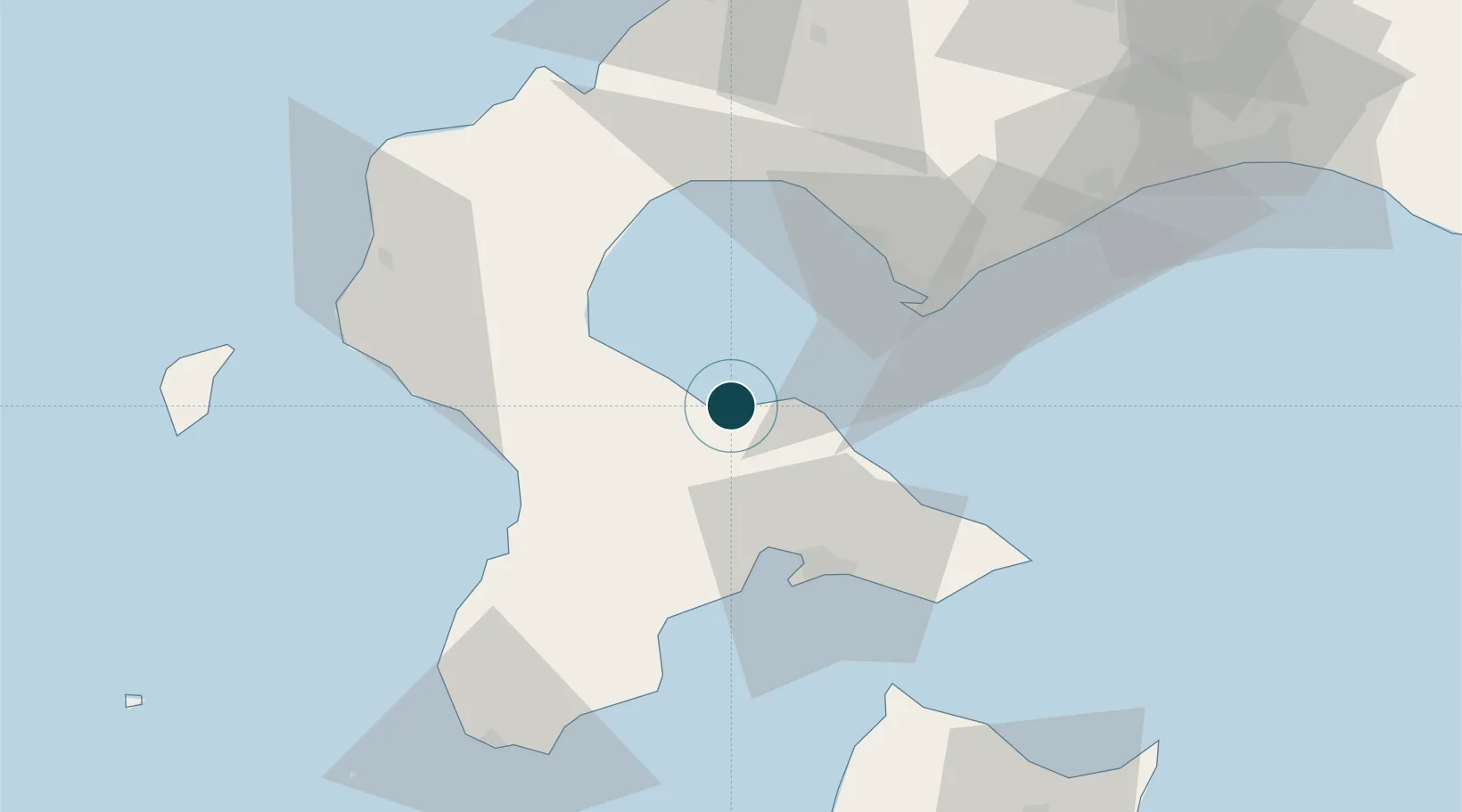
Location
Nearby Logistics Neighbours
Ports
- 1Hakodate Ko39 km
- 2Muroran Ko41 km
- 3Esasi Ko48 km
- 4Tomakomai Ko104 km
- 5Otaru Ko126 km
Cities
- 1Hokuto Hokkaido34 km
- 2Muroran40 km
- 3Noboribetsu61 km
- 4Niseko, Hokkaido76 km
- 5Fukushima, Hokkaido77 km
Airports
- 1Hakodate Airport43 km
- 2Okushiri Airport95 km
- 3JASDF Chitose Air Base117 km
- 4New Chitose Airport117 km
- 5Sapporo Okadama Airport129 km
DatabookThe Record of Consolidated Knowledge
Japan beyond logistics?