Transport Functions
Multimodal
Hub Profile
Region
15
Location
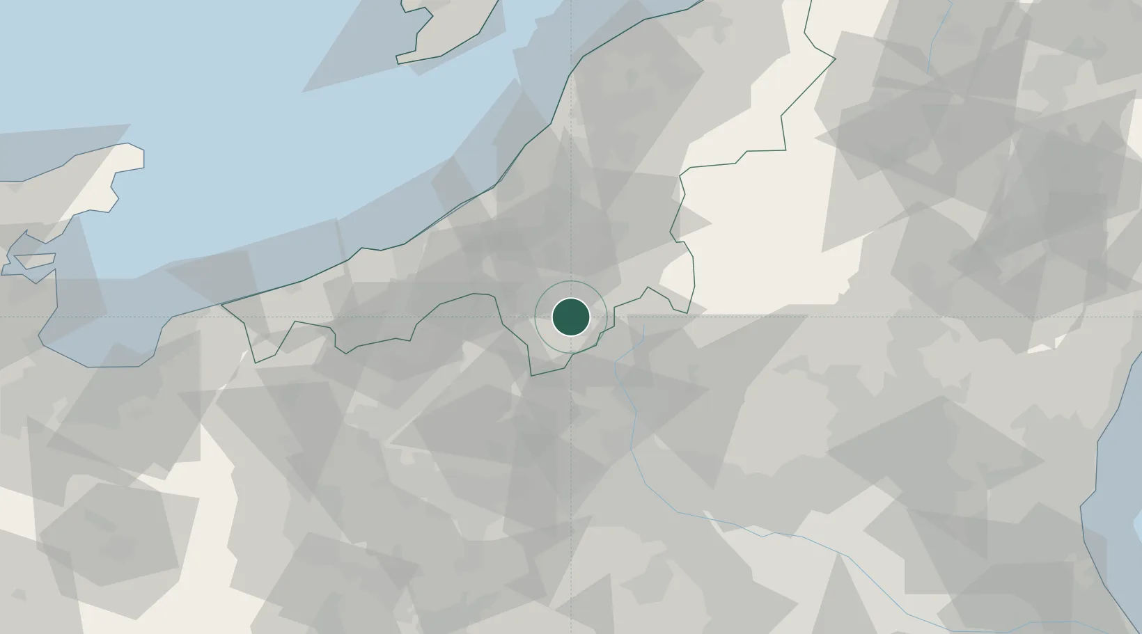
Nearby Logistics Neighbours
Cities
- 1Tokamachi23 km
- 2Minakami-Cho33 km
- 3Uonuma34 km
- 4Nozawaonsen34 km
- 5Kawaba36 km
Ports
- 1Kashiwazaki54 km
- 2Naoetsu Ko58 km
- 3Himekawa87 km
- 4Niigata Ko111 km
- 5Eastern Part Of Niigata-Ko126 km
Airports
- 1Utsunomiya Airport105 km
- 2Niigata Airport117 km
- 3Shinshu-Matsumoto Airport117 km
- 4Sado Airport130 km
- 5Iruma Air Base133 km
Trade Zones
- 1Gunma Environmentally Friendly Livestock Promotion Special Zone31 km
- 2Gunma Cancer Treatment Technology Regional Revitalization Comprehensive Special Zone59 km
- 3Nagaoka Independent Local Community Creation Special Zone60 km
- 4Niigata City Strategic Special Zone111 km
- 5Saitama Next-Generation Automobile Smart Energy Special Zone137 km
DatabookThe Record of Consolidated Knowledge
Japan beyond logistics?