Transport Functions
Rail
Road
Multimodal
Hub Profile
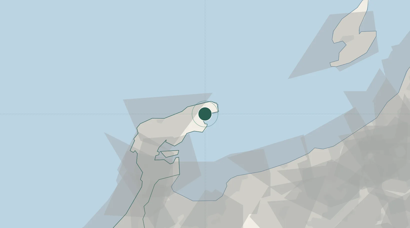
Place type
Provincial seat
Region
Ishikawa
Population
12,929
Time zone
Asia/Tokyo
Elevation
6 m
Location
Nearby Logistics Neighbours
Cities
- 1Nakanoto59 km
- 2Kurobe66 km
- 3Omi67 km
- 4Fushikitoyama71 km
- 5Toyama74 km
Ports
- 1Nanao Ko49 km
- 2Himekawa69 km
- 3Fushiki-Toyama75 km
- 4Naoetsu Ko93 km
- 5Kanazawa108 km
Airports
- 1Noto Satoyama Airport30 km
- 2Toyama Kitokito Airport88 km
- 3Sado Airport124 km
- 4Komatsu Airport / JASDF Komatsu Air Base138 km
- 5Shinshu-Matsumoto Airport153 km
Trade Zones
- 1Toyama Community-based Welfare Promotion Special Zone74 km
- 2Nagaoka Independent Local Community Creation Special Zone120 km
- 3Niigata City Strategic Special Zone166 km
- 4Gunma Environmentally Friendly Livestock Promotion Special Zone172 km
- 5Gunma Cancer Treatment Technology Regional Revitalization Comprehensive Special Zone195 km
DatabookThe Record of Consolidated Knowledge
Japan beyond logistics?