Transport Functions
Port
Airport
Hub Profile
Place type
Regional capital
Region
Toyama
Population
415,844
Time zone
Asia/Tokyo
Elevation
11 m
Logistics facilities
3
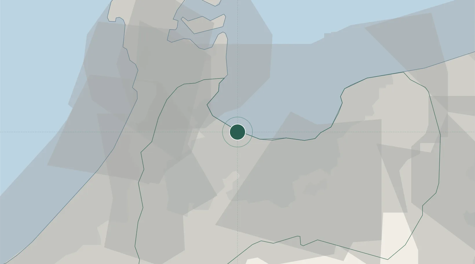
Location
Nearby Logistics Neighbours
Cities
- 1Toyamashinko2 km
- 2Fushikitoyama3 km
- 3Tonami21 km
- 4Tateyama24 km
- 5Nanto27 km
Ports
- 1Fushiki-Toyama5 km
- 2Nanao Ko31 km
- 3Kanazawa47 km
- 4Himekawa73 km
- 5Fukui112 km
Airports
- 1Toyama Kitokito Airport18 km
- 2Noto Satoyama Airport58 km
- 3Komatsu Airport / JASDF Komatsu Air Base75 km
- 4Shinshu-Matsumoto Airport102 km
- 5Fukui Airport105 km
Trade Zones
- 1Toyama Community-based Welfare Promotion Special Zone2 km
- 2Nagaoka Independent Local Community Creation Special Zone153 km
- 3Gunma Environmentally Friendly Livestock Promotion Special Zone165 km
- 4Nagahama Bio-Life Science Special Zone175 km
- 5Gunma Cancer Treatment Technology Regional Revitalization Comprehensive Special Zone179 km
DatabookThe Record of Consolidated Knowledge
Japan beyond logistics?