Transport Functions
Port
Hub Profile
Region
16
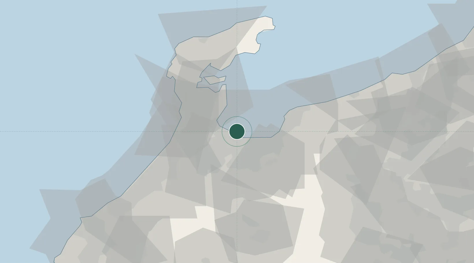
Location
Nearby Logistics Neighbours
Cities
- 1Toyamashinko3 km
- 2Toyama3 km
- 3Tateyama23 km
- 4Tonami24 km
- 5Nakanoto28 km
Ports
- 1Nanao Ko30 km
- 2Kanazawa50 km
- 3Himekawa70 km
- 4Naoetsu Ko109 km
- 5Fukui116 km
Airports
- 1Toyama Kitokito Airport18 km
- 2Noto Satoyama Airport57 km
- 3Komatsu Airport / JASDF Komatsu Air Base78 km
- 4Shinshu-Matsumoto Airport101 km
- 5Fukui Airport108 km
Trade Zones
- 1Toyama Community-based Welfare Promotion Special Zone3 km
- 2Nagaoka Independent Local Community Creation Special Zone150 km
- 3Gunma Environmentally Friendly Livestock Promotion Special Zone163 km
- 4Gunma Cancer Treatment Technology Regional Revitalization Comprehensive Special Zone177 km
- 5Nagahama Bio-Life Science Special Zone177 km
DatabookThe Record of Consolidated Knowledge
Japan beyond logistics?