Transport Functions
Port
Multimodal
Hub Profile
Region
17
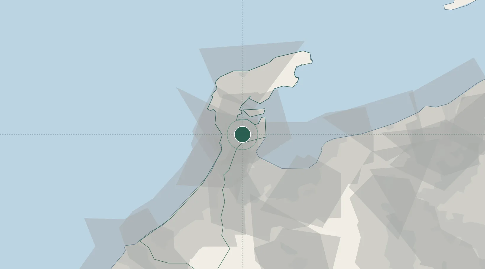
Location
Nearby Logistics Neighbours
Cities
- 1Toyama28 km
- 2Fushikitoyama28 km
- 3Toyamashinko30 km
- 4Tsubata, Ishikawa38 km
- 5Tonami39 km
Ports
- 1Nanao Ko11 km
- 2Fushiki-Toyama32 km
- 3Kanazawa49 km
- 4Himekawa85 km
- 5Fukui120 km
Airports
- 1Noto Satoyama Airport35 km
- 2Toyama Kitokito Airport45 km
- 3Komatsu Airport / JASDF Komatsu Air Base79 km
- 4Fukui Airport111 km
- 5Shinshu-Matsumoto Airport129 km
Trade Zones
- 1Toyama Community-based Welfare Promotion Special Zone29 km
- 2Nagaoka Independent Local Community Creation Special Zone159 km
- 3Gunma Environmentally Friendly Livestock Promotion Special Zone185 km
- 4Nagahama Bio-Life Science Special Zone189 km
- 5Gunma Cancer Treatment Technology Regional Revitalization Comprehensive Special Zone201 km
DatabookThe Record of Consolidated Knowledge
Japan beyond logistics?