Transport Functions
Rail
Road
Hub Profile
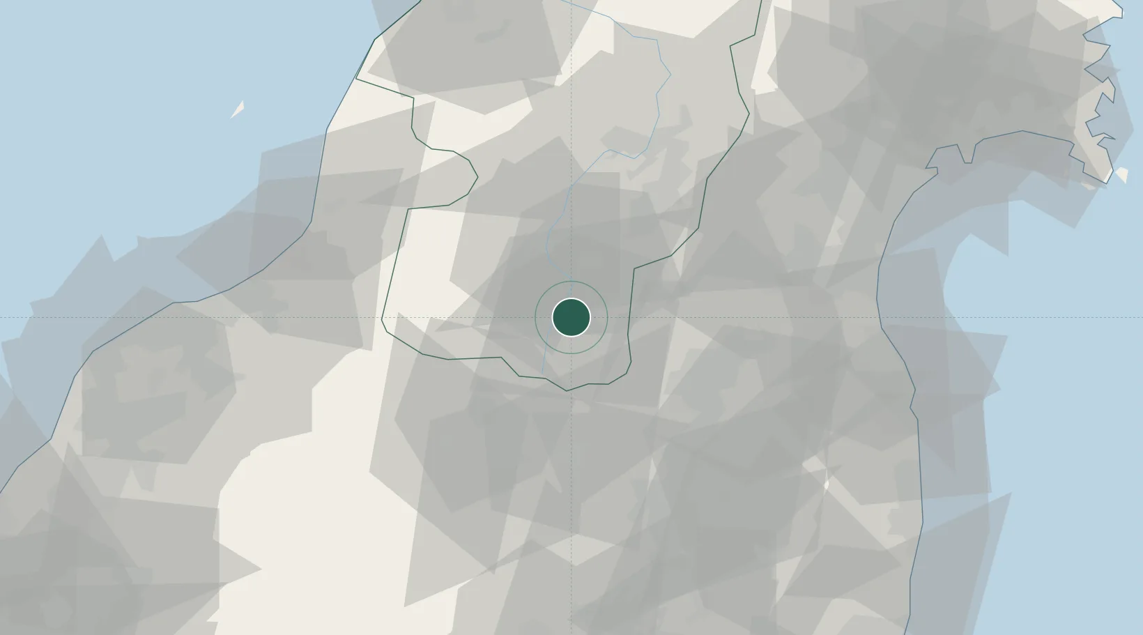
Place type
Provincial seat
Region
Yamagata
Population
94,486
Time zone
Asia/Tokyo
Elevation
249 m
Location
Nearby Logistics Neighbours
Cities
- 1Takahata, Yamagata11 km
- 2Kitakata, Fukushima37 km
- 3Aizubange, Fukushima40 km
- 4Bandai, Fukushima42 km
- 5Nihonmatsu46 km
Ports
- 1Soma74 km
- 2Eastern Part Of Niigata-Ko78 km
- 3Sendai-Shiogama92 km
- 4Niigata Ko94 km
- 5Sakata Ko116 km
Airports
- 1Yamagata Airport59 km
- 2Sendai Airport74 km
- 3Fukushima Airport82 km
- 4Niigata Airport88 km
- 5Shonai Airport104 km
DatabookThe Record of Consolidated Knowledge
Japan beyond logistics?