Transport Functions
Multimodal
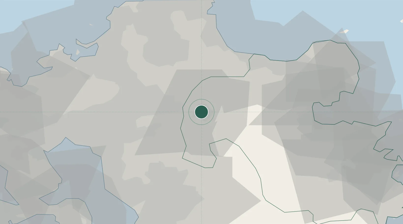
Hub Profile
Region
44
Location
Nearby Logistics Neighbours
Cities
- 1Asakura, Fukuoka27 km
- 2Tachiarai, Fukuoka31 km
- 3Kama34 km
- 4Chikuzen, Fukuoka34 km
- 5Buzen38 km
Airports
- 1JASDF Tsuiki Air Base42 km
- 2Kumamoto Airport54 km
- 3Fukuoka Airport54 km
- 4Kitakyushu Airport60 km
- 5Kyushu Saga International Airport62 km
DatabookThe Record of Consolidated Knowledge
Japan beyond logistics?