Specialized Zone · Japan
Higashi Kyushu Medical Valley Concept Special Zone Inactive
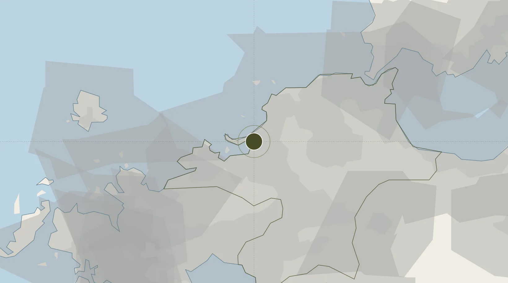
33.6565°, 130.4149°
473 ha
Zone area
6.4 km
Nearest port
8.5 km
Nearest airport
Gateway access
Zone profile
Zone type
Specialized Zone
Specialization
Medical
Region
Fukuoka
Status
Inactive
Management
Public
Operator
Miyazaki and Oita Prefectures
Legal framework
Prime Minister's Miyazaki Prefecture Zone Designation
Location
Nearby Logistics Neighbours
Ports
- 1Hakata6 km
- 2Yahata44 km
- 3Karatsu46 km
- 4Wakamatsu Ko46 km
- 5Tobata47 km
Airports
- 1Fukuoka Airport9 km
- 2JASDF Ashiya Air Base34 km
- 3Kyushu Saga International Airport57 km
- 4JASDF Tsuiki Air Base58 km
- 5Iki Airport59 km
Cities
- 1Hakata/Fukuoka2 km
- 2Kasuya8 km
- 3Sue11 km
- 4Onojo15 km
- 5Fukuoka19 km
DatabookThe Record of Consolidated Knowledge
Japan beyond logistics?