UN/LOCODE hub · Japan
JPMUR
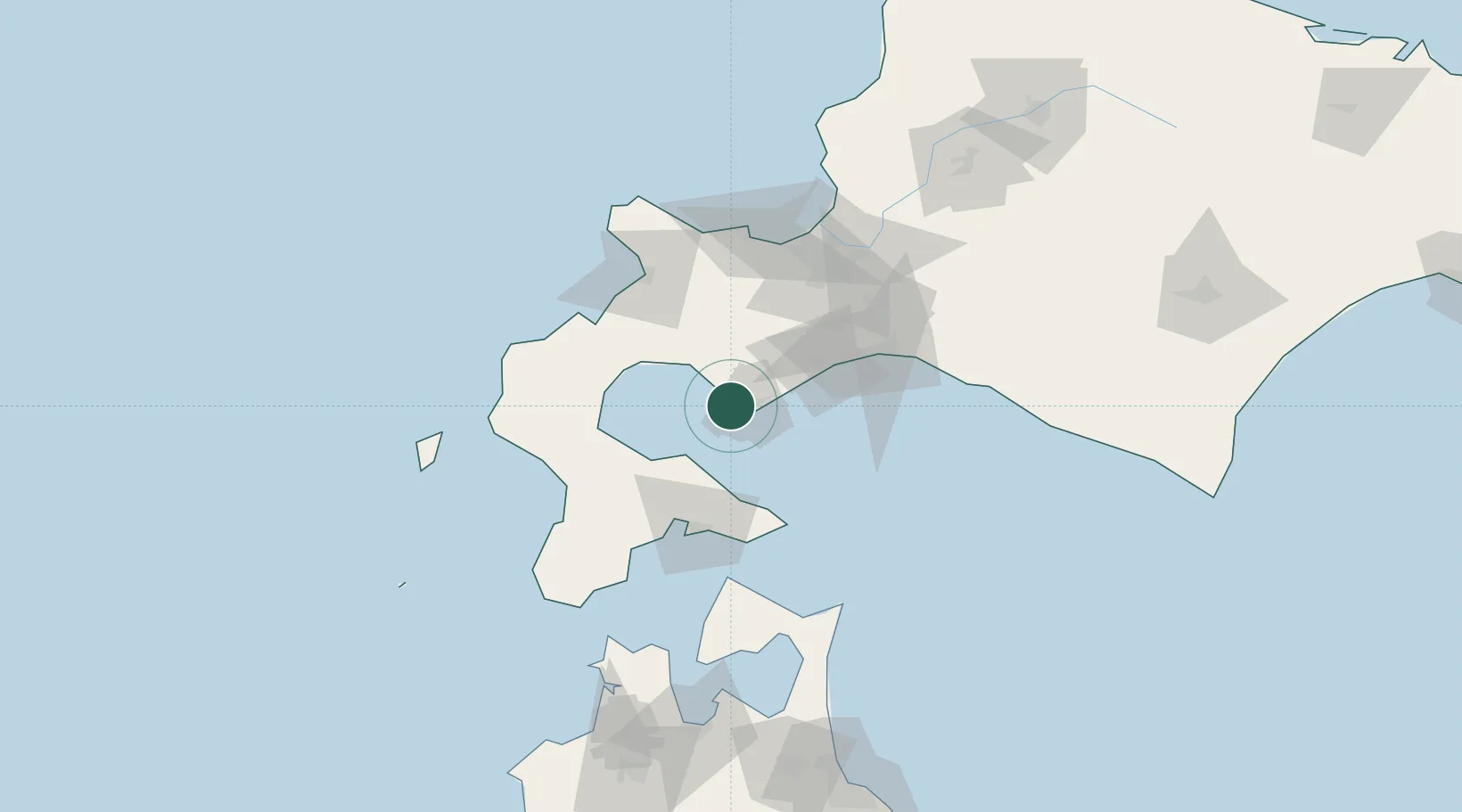
Muroran
42.3665°, 140.9307°
96,197
Population
1
Transport functions
1
Container terminals
Transport Functions
Port
Hub Profile
Place type
Provincial seat
Region
Hokkaido
Population
96,197
Time zone
Asia/Tokyo
Elevation
8 m
Logistics facilities
2
Container terminals
1
Location
Nearby Logistics Neighbours
Cities
- 1Noboribetsu22 km
- 2Niseko, Hokkaido52 km
- 3Kutchan62 km
- 4Hokuto Hokkaido65 km
- 5Tomakomai74 km
Ports
- 1Mori40 km
- 2Tomakomai Ko65 km
- 3Hakodate Ko67 km
- 4Esasi Ko87 km
- 5Otaru Ko93 km
Airports
- 1Hakodate Airport67 km
- 2JASDF Chitose Air Base77 km
- 3New Chitose Airport77 km
- 4Sapporo Okadama Airport91 km
- 5Okushiri Airport128 km
DatabookThe Record of Consolidated Knowledge
Japan beyond logistics?