Seaport · Japan
Muroran KoJPMUR
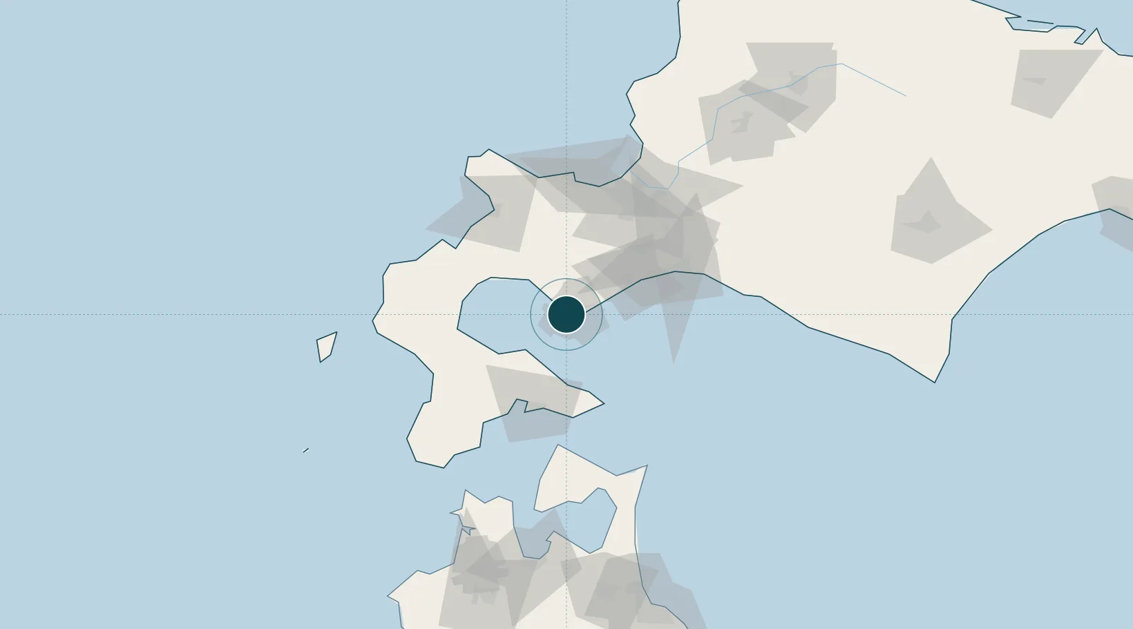
42.3500°, 140.9667°
15.5 m
Channel depth
1
Container terminals
17.2
Port liner connectivity
Channel & Berth Profile
Pilotage, Tugs & Services
Pilotage compulsoryNO
Pilotage availableYES
Pilotage advisableYES
Tug assistanceYES
Potable waterYES
MedicalYES
Garbage disposalYES
Facilities & Capabilities
Container—
Ro-Ro—
Liquid bulk—
Dry bulk—
Oil terminal—
Break bulk—
Dry dockNO
RepairsNO
BunkeringYES
Rail linkYES
Dangerous cargo—
ISPS security—
Harbour Specifications
Harbour size
Medium
Harbour type
Coastal (Natural)
Shelter
Good
Water body
North Pacific Ocean
Tidal range
1 m
Overhead limit
Yes
Pilotage
No
Liner Connectivity
17.2
PLSCI
Port Liner Shipping Connectivity Index for Muroran Ko, as published by UNCTAD for the latest available quarter. Higher values indicate stronger scheduled liner-shipping integration.
Shown relative to the highest per-port PLSCI in the dataset (1,657.9).
Location
Container Terminals · 1
MURORAN SAKIMORI NO. 6 BERTH
SAC MURORAN PORT AUTHORITY
Nearby Logistics Neighbours
Ports
- 1Mori41 km
- 2Tomakomai Ko63 km
- 3Hakodate Ko66 km
- 4Esasi Ko88 km
- 5Otaru Ko95 km
Cities
- 1Noboribetsu20 km
- 2Niseko, Hokkaido55 km
- 3Kutchan64 km
- 4Hokuto Hokkaido65 km
- 5Tomakomai72 km
Airports
- 1Hakodate Airport66 km
- 2JASDF Chitose Air Base76 km
- 3New Chitose Airport76 km
- 4Sapporo Okadama Airport92 km
- 5Okushiri Airport130 km
DatabookThe Record of Consolidated Knowledge
Japan beyond logistics?