UN/LOCODE hub · Japan
JPRBN

Noboribetsu

42.4500°, 141.1667°
46,391
Population
1
Transport functions

Transport Functions

Port
UN/LOCODE

Hub Profile

Place type
Provincial seat
GeoNames
Region
Hokkaido
GeoNames
Population
46,391
GeoNames
Time zone
Asia/Tokyo
GeoNames
Elevation
10 m
GeoNames

Location

Location of JPRBN
Natural Earth 10m (public domain) · Hokkaido · JPRBN · 42.45, 141.17GoogleOSMYandex

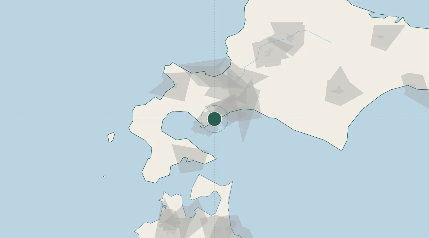
Nearby Logistics Neighbours

Cities
  1. 1Muroran22 km
  2. 2Tomakomai52 km
  3. 3Niseko, Hokkaido56 km
  4. 4Kutchan61 km
  5. 5Sapporo70 km
Nearest neighbours — logibook spatial index (haversine) over the source coordinates
Ports
  1. 1Muroran Ko20 km
  2. 2Tomakomai Ko43 km
  3. 3Mori61 km
  4. 4Hakodate Ko83 km
  5. 5Otaru Ko84 km
Nearest neighbours — logibook spatial index (haversine) over the source coordinates
Airports
  1. 1JASDF Chitose Air Base56 km
  2. 2New Chitose Airport56 km
  3. 3Sapporo Okadama Airport76 km
  4. 4Hakodate Airport81 km
  5. 5Okushiri Airport149 km
Nearest neighbours — logibook spatial index (haversine) over the source coordinates
DatabookThe Record of Consolidated Knowledge
Japan beyond logistics?
Browse databook

All Sources

LocationsUN/LOCODE
UN/LOCODE — free
LocationsGeoNames
CC BY 4.0
Portsthe NGA World Port Index
Public domain (US gov)
AirportsOurAirports
Public domain
Trade Zonesthe World Bank SEZ database
CC BY 4.0
Trade ZonesOpen Zone Map
CC BY
← Japan locations