Medium airport · Japan
Okushiri AirportRJEO
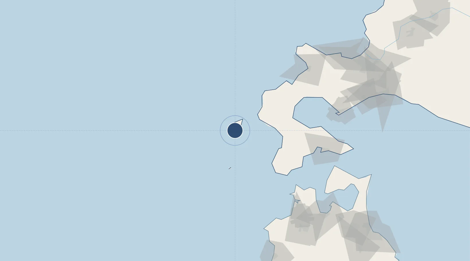
42.0717°, 139.4330°
4,922 ft
Longest runway
1
Runways
161 ft
Elevation
Runway & Layout

Radio Frequencies
A/G
122.7 MHz
REMOTE
Navaids
ORE VOR-DME Okushiri 109.85 MHz
Runways · 1
| Runway | Dimensions | Surface | True heading | Lit |
|---|---|---|---|---|
| 13/31 | 4,922 × 147ft | Asphalt | 121° | ✓ |
Airport Specifications
IATA code
OIR
ICAO code
RJEO
Airport class
Medium airport
Scheduled service
Yes
Runway surface
Asphalt
Served city
Okushiri Island
Location
Nearby Logistics Neighbours
Airports
- 1Hakodate Airport120 km
- 2Aomori Airport182 km
- 3Sapporo Okadama Airport197 km
- 4JASDF Chitose Air Base200 km
- 5New Chitose Airport201 km
Cities
- 1Fukushima, Hokkaido96 km
- 2Hokuto Hokkaido105 km
- 3Muroran128 km
- 4Niseko, Hokkaido131 km
- 5Kutchan141 km
Ports
- 1Esasi Ko61 km
- 2Mori95 km
- 3Hakodate Ko111 km
- 4Muroran Ko130 km
- 5Aomori Ko176 km
DatabookThe Record of Consolidated Knowledge
Japan beyond logistics?