Transport Functions
Port
Road
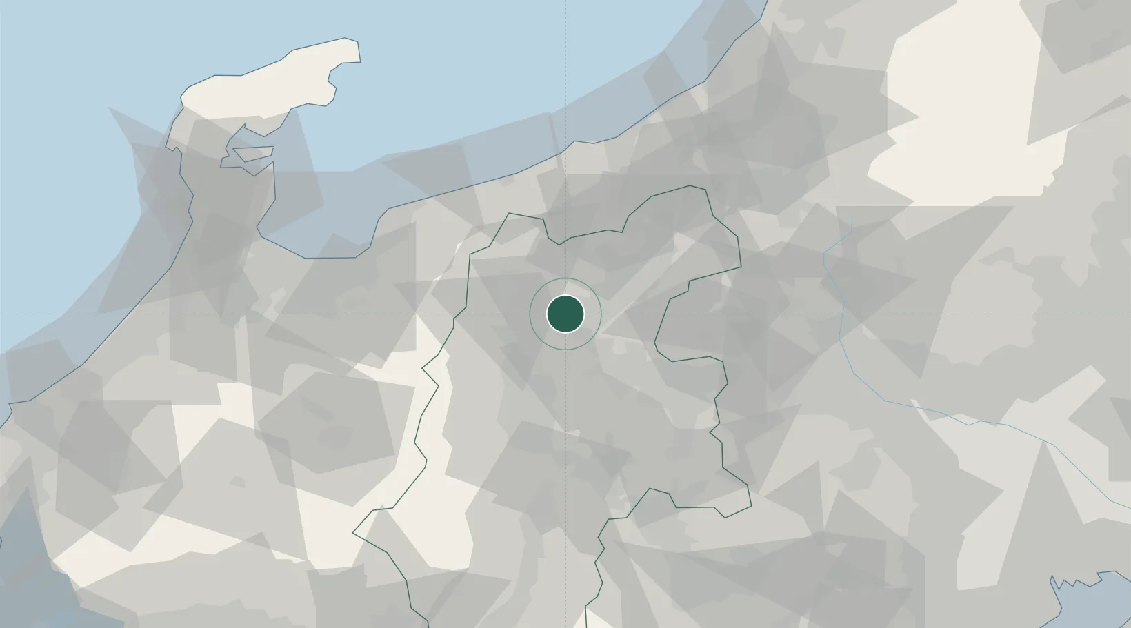
Hub Profile
Place type
Populated place
Region
Kanagawa
Time zone
Asia/Tokyo
Elevation
10 m
Location
Nearby Logistics Neighbours
Cities
- 1Aoki, Nagano23 km
- 2Suzaka24 km
- 3Obuse, Nagano27 km
- 4Azumino33 km
- 5Tsumagoi, Gunma41 km
Ports
- 1Himekawa55 km
- 2Naoetsu Ko71 km
- 3Fushiki-Toyama86 km
- 4Kashiwazaki99 km
- 5Nanao Ko110 km
Airports
- 1Shinshu-Matsumoto Airport46 km
- 2Toyama Kitokito Airport79 km
- 3Noto Satoyama Airport127 km
- 4Iruma Air Base145 km
- 5Yokota Air Base147 km
Trade Zones
- 1Gunma Environmentally Friendly Livestock Promotion Special Zone78 km
- 2Gunma Cancer Treatment Technology Regional Revitalization Comprehensive Special Zone89 km
- 3Toyama Community-based Welfare Promotion Special Zone89 km
- 4Nagaoka Independent Local Community Creation Special Zone109 km
- 5Minami-Alps Competitiveness and Sustainability Special Zone113 km
DatabookThe Record of Consolidated Knowledge
Japan beyond logistics?