Channel & Berth Profile
Pilotage, Tugs & Services
Pilotage compulsoryNO
Pilotage availableYES
Pilotage advisableYES
Tug assistanceYES
Salvage tugsNO
Shore powerNO
Potable waterYES
Diesel bunkersYES
MedicalYES
Facilities & Capabilities
Container—
Ro-RoYES
Liquid bulkYES
Dry bulk—
Oil terminal—
Break bulkYES
Dry dock—
RepairsNO
BunkeringYES
Rail link—
Dangerous cargo—
ISPS securityYES
Harbour Specifications
Harbour size
Very Small
Harbour type
Coastal (Natural)
Shelter
Fair
Water body
Norwegian Sea; North Atlantic Ocean
Tidal range
3.4 m
Pilotage
No
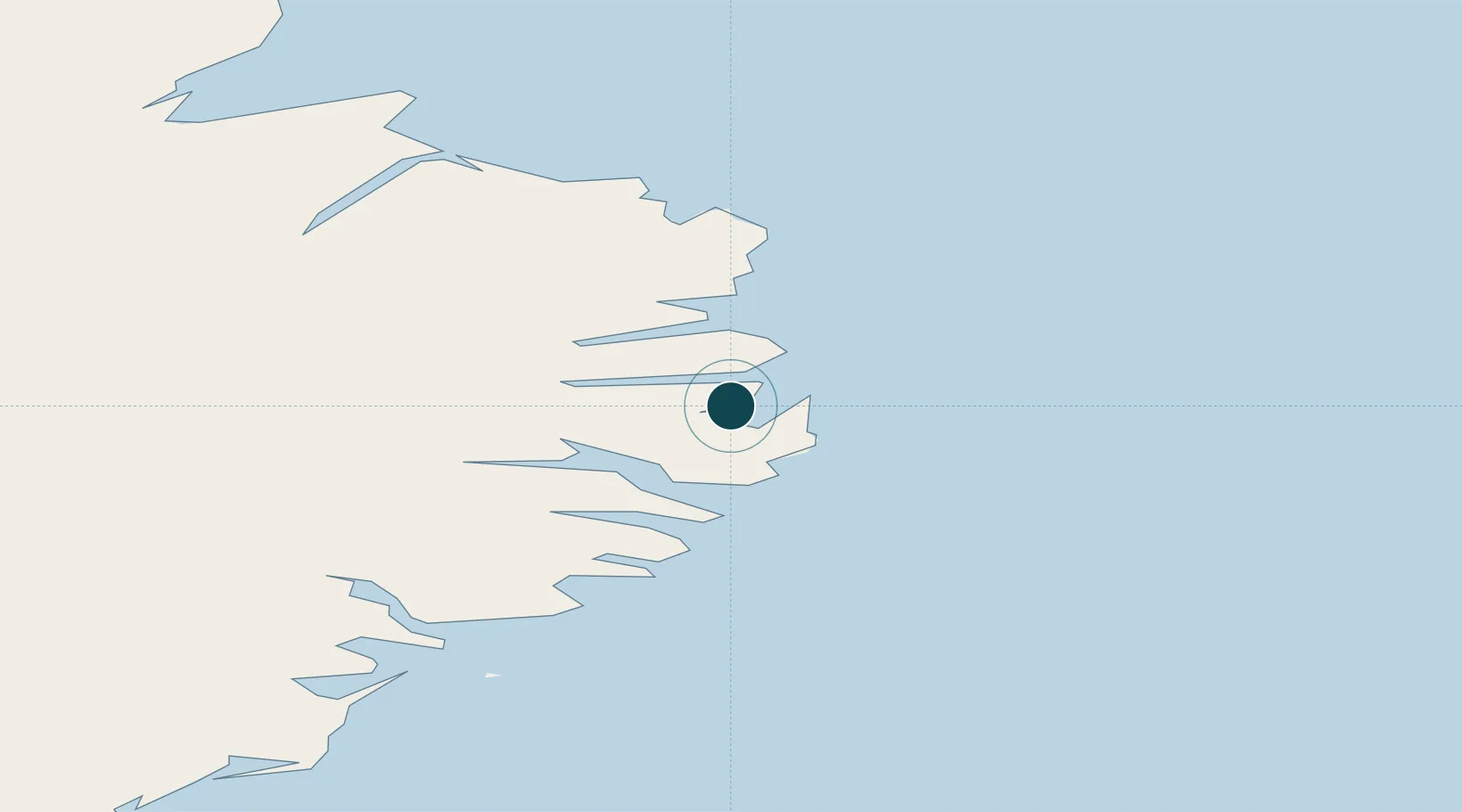
Location
Nearby Logistics Neighbours
Ports
- 1Eskifjordhur18 km
- 2Seydhisfjordhur20 km
- 3Reydarfjordur23 km
- 4Budir29 km
- 5Stodhvarfjordur36 km
Cities
- 1Mjoeyrarhofn29 km
- 2Djúpivogur62 km
- 3Vopnafjördur85 km
- 4Bakkafjördur111 km
- 5Höfn, Hornafjørdur124 km
Airports
- 1Egilsstaðir Airport37 km
- 2Vopnafjörður Airport83 km
- 3Hornafjörður Airport120 km
- 4Þórshöfn Airport141 km
- 5Mývatn Airport160 km
Trade Zones
- 1Prestwick Airport Free Zone1180 km
- 2Carlisle Kingmoor Park Enterprise Zone1278 km
- 3North Eastern Enterprise Zone1310 km
- 4Isle of Man Free Zone and Business Park1328 km
- 5Tees Valley Enterprise Zone1359 km
DatabookThe Record of Consolidated Knowledge
Iceland beyond logistics?