Transport Functions
Rail
Road
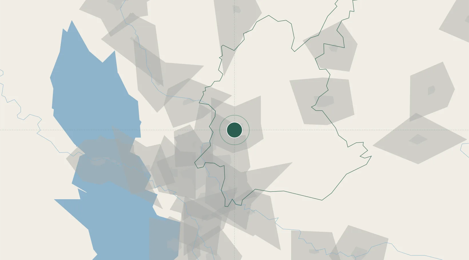
Hub Profile
Place type
Regional capital
Region
Diyala
Population
152,550
Time zone
Asia/Baghdad
Elevation
48 m
Location
Nearby Logistics Neighbours
Cities
- 1Taji43 km
- 2Balad54 km
- 3Baghdåd55 km
- 4Samarra'87 km
- 5Al Taqaddum108 km
Ports
- 1Al Basrah469 km
- 2Khorramshahr498 km
- 3Khawr Al Zubair502 km
- 4Abadan513 km
- 5Umm Qasr520 km
Airports
Trade Zones
DatabookThe Record of Consolidated Knowledge
Iraq beyond logistics?