Transport Functions
Rail
Road
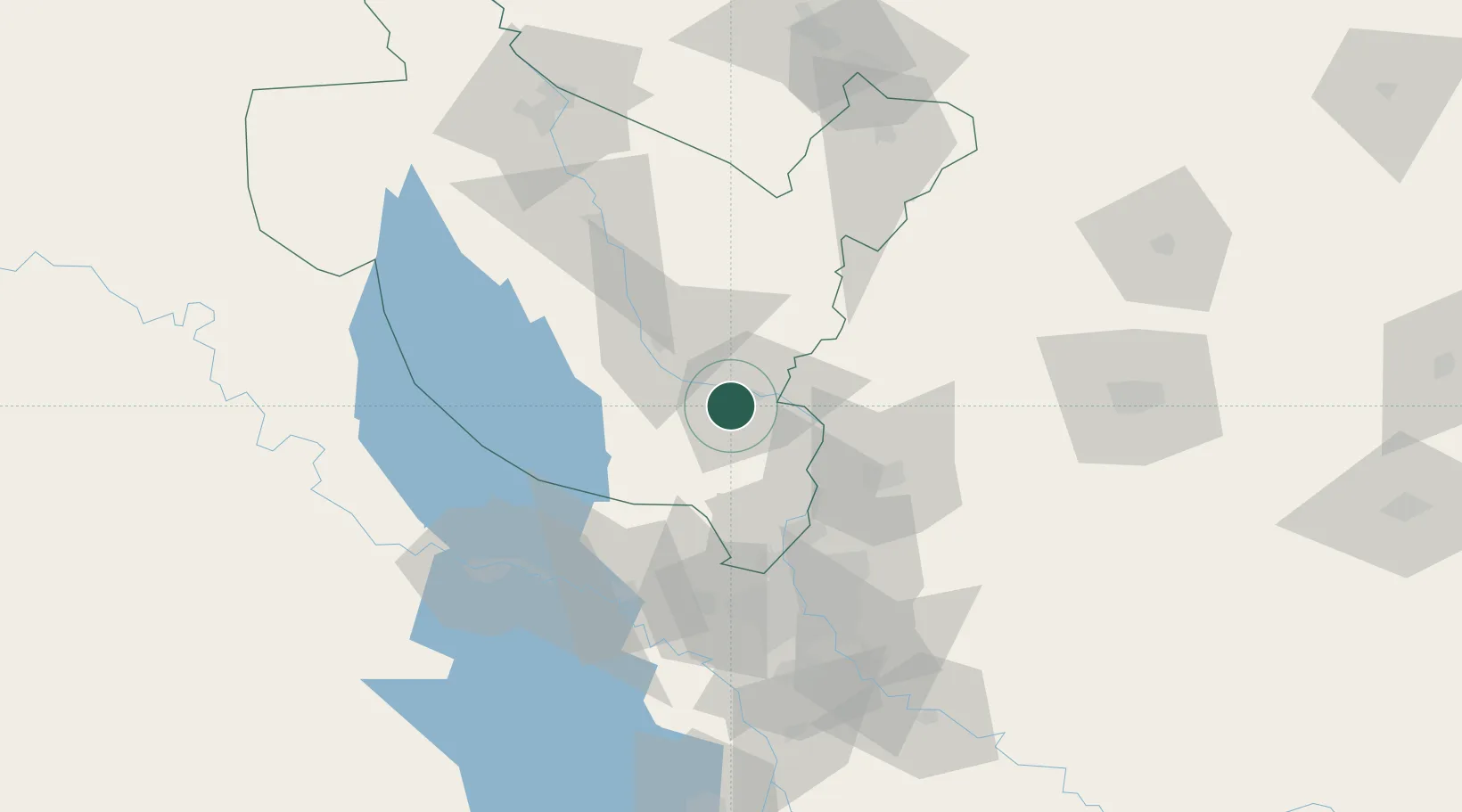
Hub Profile
Place type
Provincial seat
Region
Salah ad Din
Population
42,088
Time zone
Asia/Baghdad
Elevation
53 m
Location
Nearby Logistics Neighbours
Cities
- 1Samarra'33 km
- 2Ba'qubah54 km
- 3Taji55 km
- 4Baghdåd79 km
- 5Al Taqaddum90 km
Ports
- 1Al Basrah521 km
- 2Khorramshahr550 km
- 3Khawr Al Zubair553 km
- 4Abadan565 km
- 5Umm Qasr571 km
Airports
Trade Zones
DatabookThe Record of Consolidated Knowledge
Iraq beyond logistics?