Medium airport · Iraq

Balad Southeast Airport / Joint Base BaladORBD
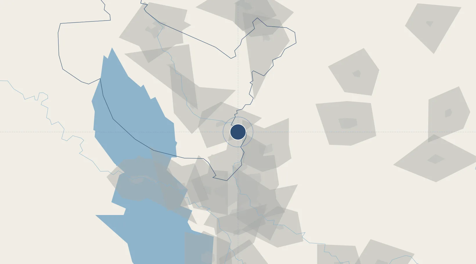
33.9402°, 44.3616°
11,495 ft
Longest runway
2
Runways
161 ft
Elevation

Runway & Layout

Balad Southeast Airport / Joint Base Balad runway & taxiway layout
Runway & taxiway layout — OpenStreetMap (ODbL) / OurAirports

Radio Frequencies

TWR
119.875 MHz
GND
128.75 MHz
APP
126.425 MHz
MISC
126.75 MHz
SOF
PMSV
33.6 MHz
METRO
POST
33.19 MHz
COMD POST
OurAirports

Navaids

BLD VORTAC Balad 114.60 MHz
OurAirports

Runways · 2

RunwayDimensions SurfaceTrue headingLit
12/30 11,495 × 149ft Asphalt / concrete 126°
14/32 11,490 × 197ft Concrete 146°
OurAirports

Airport Specifications

ICAO code
ORBD
OurAirports
Airport class
Medium airport
OurAirports
Scheduled service
No
OurAirports
Runway surface
Asphalt / concrete
OurAirports
Served city
Al Bakr
OurAirports

Location

Location of ORBD
Natural Earth 10m (public domain) · Sala ad-Din · ORBD · 33.94, 44.36GoogleOSMYandex

Nearby Logistics Neighbours

Airports
  1. 1Samarra East Air Base / Dhuluiya Airport27 km
  2. 2Salum Air Base43 km
  3. 3Al Taji Army Air Field47 km
  4. 4Rasheed Air Base75 km
  5. 5Baghdad International Airport / New Al Muthana Air Base76 km
Nearest neighbours — logibook spatial index (haversine) over the source coordinates
Cities
  1. 1Balad22 km
  2. 2Ba'qubah33 km
  3. 3Taji48 km
  4. 4Samarra'54 km
  5. 5Baghdåd70 km
Nearest neighbours — logibook spatial index (haversine) over the source coordinates
Ports
  1. 1Al Basrah502 km
  2. 2Khorramshahr530 km
  3. 3Khawr Al Zubair534 km
  4. 4Abadan545 km
  5. 5Umm Qasr552 km
Nearest neighbours — logibook spatial index (haversine) over the source coordinates
Trade Zones
  1. 1Qasr-e-Shirin Special Economic Zone129 km
  2. 2Baneh Special Economic Zone271 km
  3. 3Lorestan Special Economic Zone311 km
  4. 4West Islamabad Special Economic Zone374 km
  5. 5Al Yarubiyah Free Zone382 km
Nearest neighbours — logibook spatial index (haversine) over the source coordinates
DatabookThe Record of Consolidated Knowledge
Iraq beyond logistics?
Browse databook

All Sources

AirportsOurAirports
Public domain
Portsthe NGA World Port Index
Public domain (US gov)
LocationsUN/LOCODE
UN/LOCODE — free
Trade Zonesthe World Bank SEZ database
CC BY 4.0
Trade ZonesOpen Zone Map
CC BY
InfrastructureOpenStreetMap
ODbL 1.0
← Iraq airports