UN/LOCODE hub · India
INJSG

Concor ICD/Jharsuguda

21.9333°, 84.0500°
1
Transport functions

Transport Functions

Multimodal
UN/LOCODE

Hub Profile

Region
OR
GeoNames

Location

Location of INJSG
Natural Earth 10m (public domain) · OR · INJSG · 21.93, 84.05GoogleOSMYandex

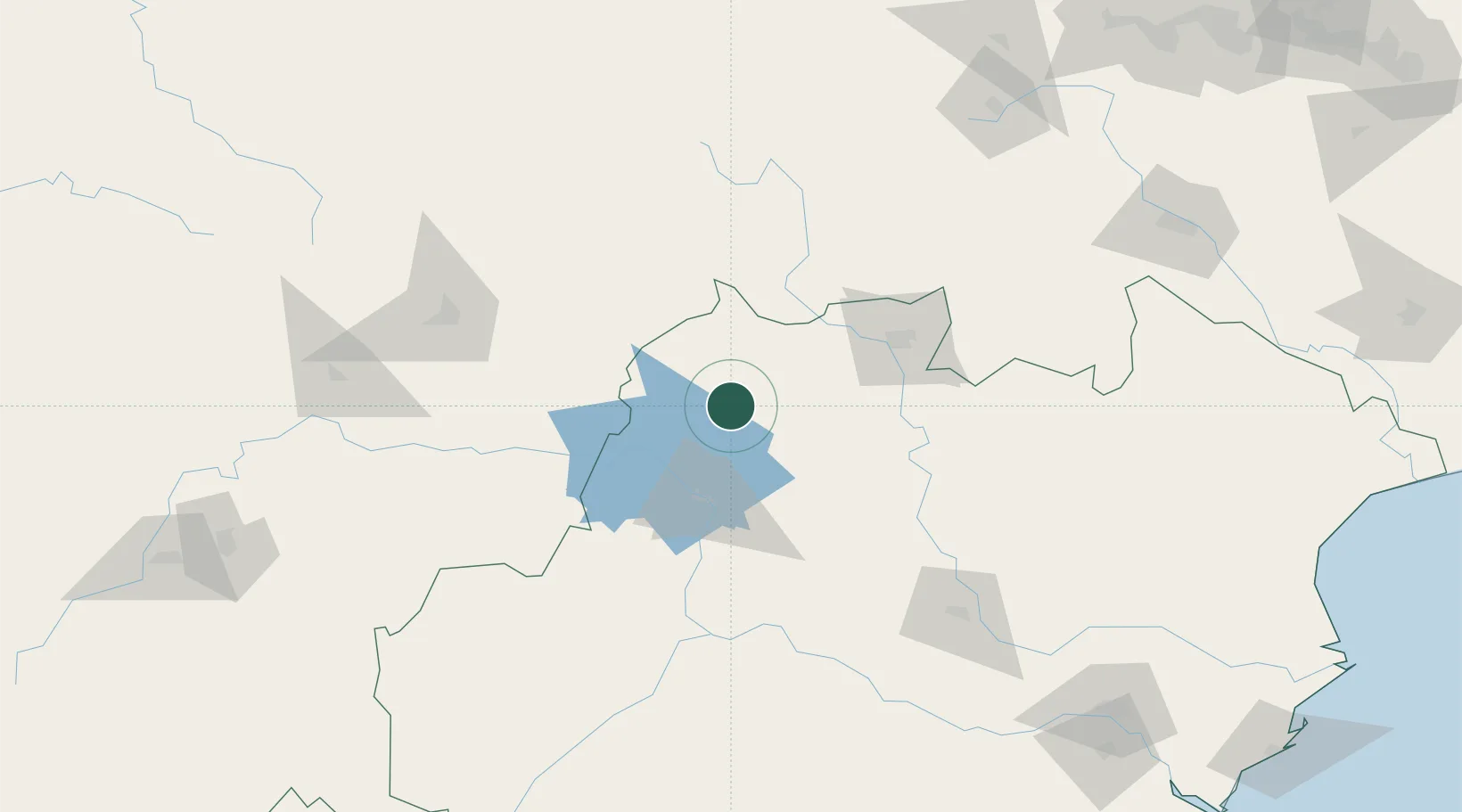
Nearby Logistics Neighbours

Cities
  1. 1Jharsuguda10 km
  2. 2Vedanta SEZ/Jharsuguda12 km
  3. 3Lapanga23 km
  4. 4Barbil139 km
  5. 5Orissa190 km
Nearest neighbours — logibook spatial index (haversine) over the source coordinates
Ports
  1. 1Gopalpur308 km
  2. 2Dhamra327 km
  3. 3Paradip330 km
  4. 4Haldia Port416 km
  5. 5Calcutta446 km
Nearest neighbours — logibook spatial index (haversine) over the source coordinates
Airports
  1. 1Jharsuguda Airport2 km
  2. 2Rourkela Airport87 km
  3. 3Maa Mahamaya Airport146 km
  4. 4Bilaspur Airport200 km
  5. 5Birsa Munda Airport202 km
Nearest neighbours — logibook spatial index (haversine) over the source coordinates
Trade Zones
  1. 1Adityapur Industrial area development authority237 km
  2. 2Vedanta Aluminium Limited256 km
  3. 3Hindalco Industries Limited258 km
  4. 4Orissa Industrial Development Corporation261 km
  5. 5Saraf Agencies private Limited304 km
Nearest neighbours — logibook spatial index (haversine) over the source coordinates
DatabookThe Record of Consolidated Knowledge
India beyond logistics?
Browse databook

All Sources

LocationsUN/LOCODE
UN/LOCODE — free
Portsthe NGA World Port Index
Public domain (US gov)
AirportsOurAirports
Public domain
Trade Zonesthe World Bank SEZ database
CC BY 4.0
Trade ZonesOpen Zone Map
CC BY
← India locations