UN/LOCODE hub · India
INJHV

Vedanta SEZ/Jharsuguda

21.8333°, 84.0167°
1
Transport functions

Transport Functions

Multimodal
UN/LOCODE

Hub Profile

Region
OR
GeoNames

Location

Location of INJHV
Natural Earth 10m (public domain) · OR · INJHV · 21.83, 84.02GoogleOSMYandex

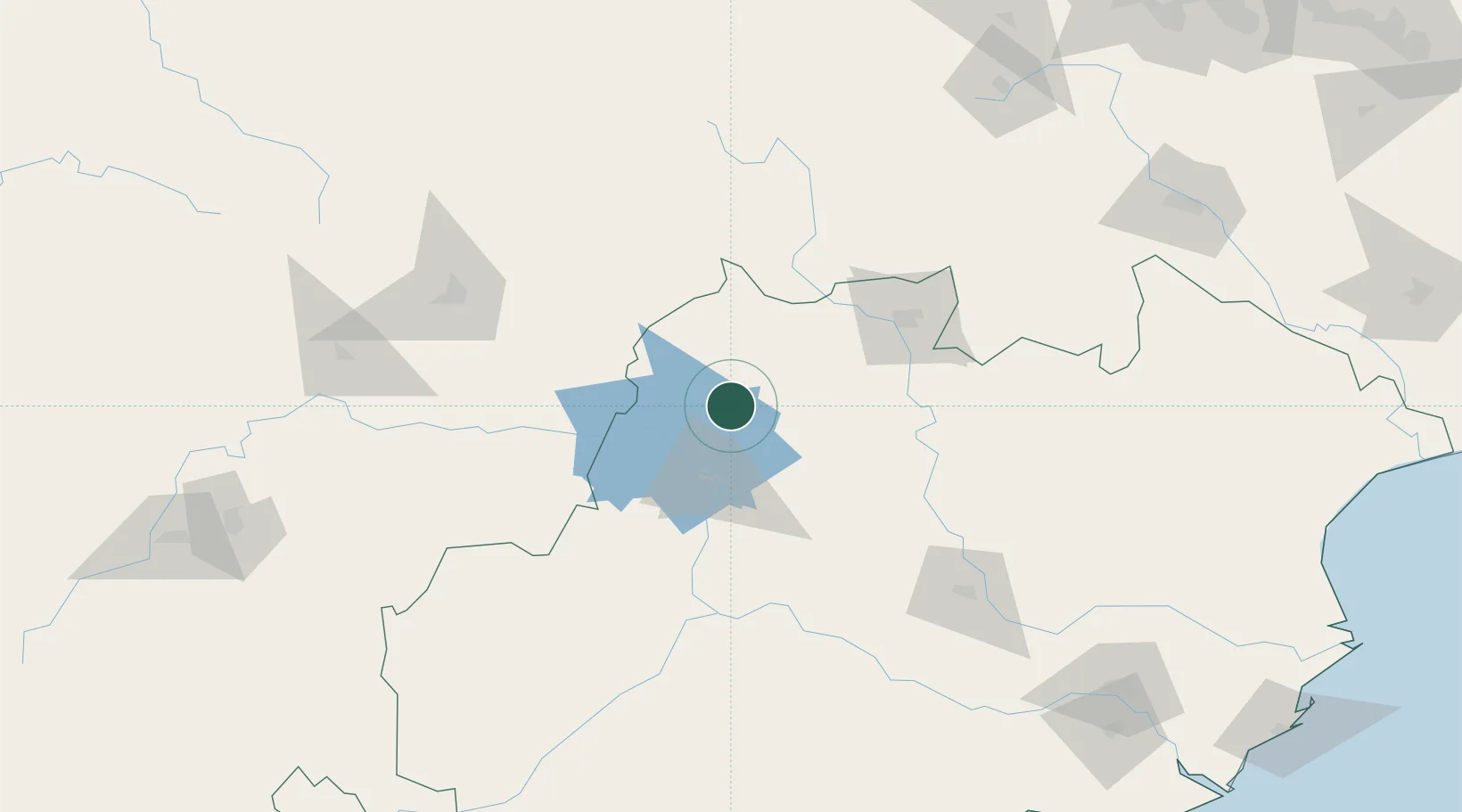
Nearby Logistics Neighbours

Cities
  1. 1Jharsuguda3 km
  2. 2Lapanga11 km
  3. 3Concor ICD/Jharsuguda12 km
  4. 4Barbil144 km
  5. 5Orissa180 km
Nearest neighbours — logibook spatial index (haversine) over the source coordinates
Ports
  1. 1Gopalpur298 km
  2. 2Dhamra326 km
  3. 3Paradip327 km
  4. 4Haldia Port420 km
  5. 5Calcutta452 km
Nearest neighbours — logibook spatial index (haversine) over the source coordinates
Airports
  1. 1Jharsuguda Airport10 km
  2. 2Rourkela Airport95 km
  3. 3Maa Mahamaya Airport154 km
  4. 4Bilaspur Airport197 km
  5. 5Utkela Airport212 km
Nearest neighbours — logibook spatial index (haversine) over the source coordinates
Trade Zones
  1. 1Vedanta Aluminium Limited245 km
  2. 2Adityapur Industrial area development authority245 km
  3. 3Hindalco Industries Limited253 km
  4. 4Orissa Industrial Development Corporation256 km
  5. 5Saraf Agencies private Limited295 km
Nearest neighbours — logibook spatial index (haversine) over the source coordinates
DatabookThe Record of Consolidated Knowledge
India beyond logistics?
Browse databook

All Sources

LocationsUN/LOCODE
UN/LOCODE — free
Portsthe NGA World Port Index
Public domain (US gov)
AirportsOurAirports
Public domain
Trade Zonesthe World Bank SEZ database
CC BY 4.0
Trade ZonesOpen Zone Map
CC BY
← India locations