Diversified Zone · Nepal

Jhapa Special Economic Zone Under Development
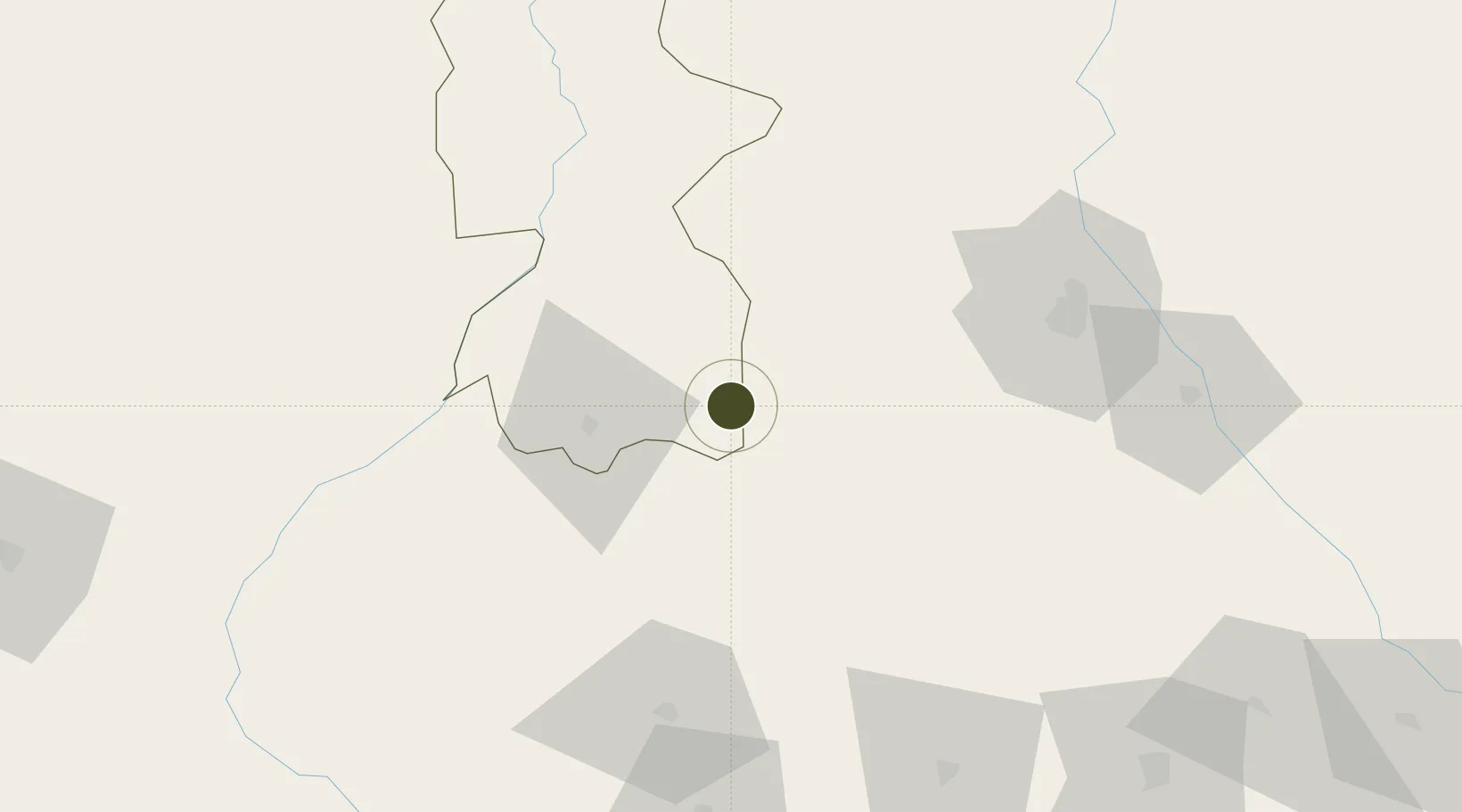
26.5072°, 87.6197°
300 ha
Zone area
445.9 km
Nearest port
35.5 km
Nearest airport

Gateway access

Nearest neighbours — logibook spatial index (haversine) over the source coordinates

Zone profile

Zone type
Diversified Zone
Open Zone Map
Region
Bhojpur
Open Zone Map
Status
Under Development
Open Zone Map
Management
Public
Open Zone Map
Operator
Special Economic Zone Authority, Nepal
Open Zone Map
Legal framework
Special Economic Zone Act, 2073 (2016).
Open Zone Map

Location

Location of ozm-2905
Natural Earth 10m (public domain) · Bhojpur · ozm-2905 · 26.51, 87.62GoogleOSMYandex

Nearby Logistics Neighbours

Ports
  1. 1Calcutta446 km
  2. 2Mongla492 km
  3. 3Haldia Port502 km
  4. 4Chittagong631 km
  5. 5Dhamra636 km
Nearest neighbours — logibook spatial index (haversine) over the source coordinates
Airports
  1. 1Biratnagar Airport36 km
  2. 2Bhadrapur Airport46 km
  3. 3Bagdogra Airport73 km
  4. 4Taplejung Airport94 km
  5. 5Tumling Tar Airport99 km
Nearest neighbours — logibook spatial index (haversine) over the source coordinates
Cities
  1. 1Biratnagar34 km
  2. 2Pratapganj69 km
  3. 3Siliguri83 km
  4. 4Kulkuli Lcs84 km
  5. 5Loksan Lcs109 km
Nearest neighbours — logibook spatial index (haversine) over the source coordinates
Trade Zones
  1. 1Siraha Special Economic Zone11 km
  2. 2Biratnagar Special Economic Zone43 km
  3. 3Gorkha Special Economic Zone99 km
  4. 4Panchagarh Economic Zone120 km
  5. 5Debiganj Economic Zone: Sujon121 km
Nearest neighbours — logibook spatial index (haversine) over the source coordinates
DatabookThe Record of Consolidated Knowledge
Nepal beyond logistics?
Browse databook

All Sources

Trade ZonesOpen Zone Map
CC BY
Portsthe NGA World Port Index
Public domain (US gov)
AirportsOurAirports
Public domain
LocationsUN/LOCODE
UN/LOCODE — free
← Nepal trade zones