UN/LOCODE hub · India
INHZA
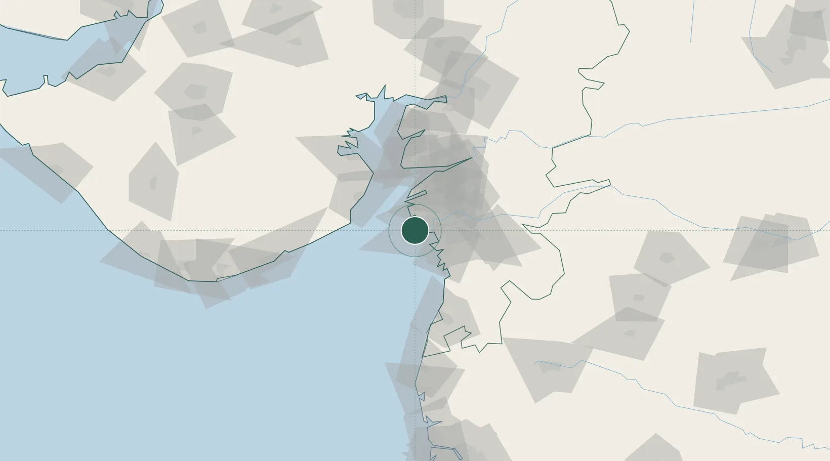
Hazira Port/Surat
21.1428°, 72.6492°
1
Transport functions
1
Container terminals
Transport Functions
Port
Hub Profile
Region
GJ
Logistics facilities
18
Container terminals
1
Location
Nearby Logistics Neighbours
Cities
- 1Surat1 km
- 2Gandhar7 km
- 3Kril ICD7 km
- 4SHB ICD/Surat17 km
- 5Sap-SEZ/Surat19 km
Ports
- 1Magdalla11 km
- 2Dahej63 km
- 3Bhavnagar82 km
- 4Pipavav Bandar120 km
- 5Jafarabad135 km
Airports
- 1Surat International Airport10 km
- 2Daman Airport81 km
- 3Bhavnagar Airport83 km
- 4Vadodara International Airport146 km
- 5Nashik International Airport174 km
Trade Zones
- 1Gujarat Hira Bourse11 km
- 2Surat Special Economic Zone24 km
- 3Surat Apparel Park26 km
- 4HBS Pharma SEZ Private Limited, Bharuch55 km
- 5Dahej SEZ Ltd.64 km
DatabookThe Record of Consolidated Knowledge
India beyond logistics?