UN/LOCODE hub · India
INSTV

Surat

21.1541°, 72.6515°
4,591,246
Population
5
Transport functions

Transport Functions

Port
Rail
Road
Airport
Multimodal
UN/LOCODE

Hub Profile

Place type
Populated place
GeoNames
Region
Gujarat
GeoNames
Population
4,591,246
GeoNames
Time zone
Asia/Kolkata
GeoNames
Elevation
20 m
GeoNames
Logistics facilities
1
UN/LOCODE

Location

Location of INSTV
Natural Earth 10m (public domain) · Gujarat · INSTV · 21.15, 72.65GoogleOSMYandex

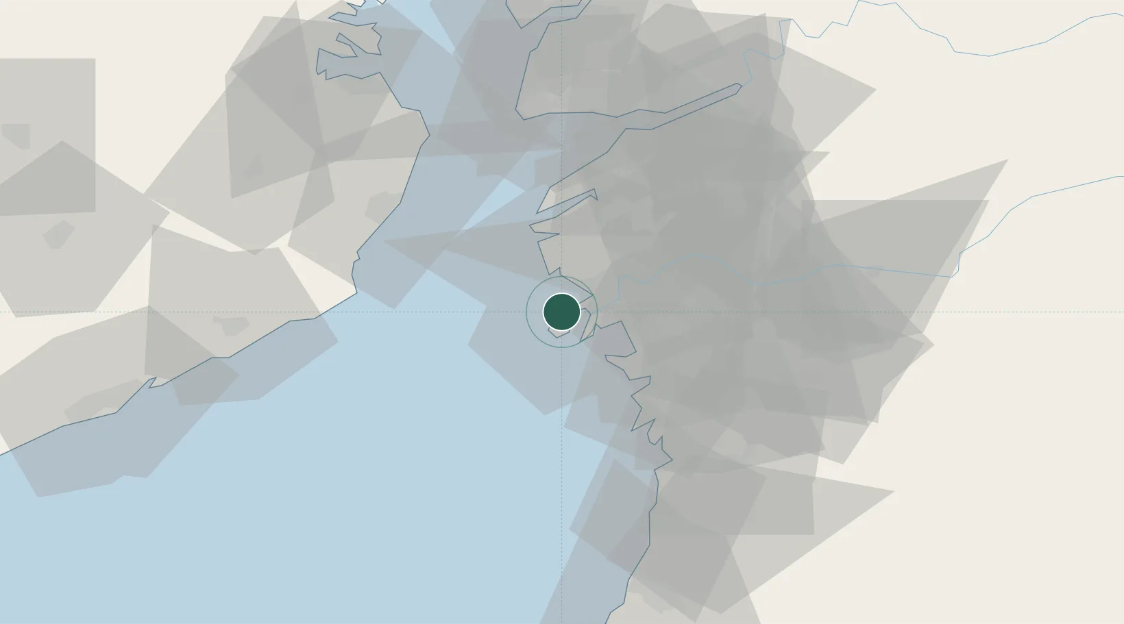
Nearby Logistics Neighbours

Cities
  1. 1Hazira Port/Surat1 km
  2. 2Kril ICD6 km
  3. 3Gandhar8 km
  4. 4SHB ICD/Surat17 km
  5. 5Sap-SEZ/Surat19 km
Nearest neighbours — logibook spatial index (haversine) over the source coordinates
Ports
  1. 1Hazira8 km
  2. 2Magdalla10 km
  3. 3Dahej62 km
  4. 4Bhavnagar81 km
  5. 5Pipavav Bandar121 km
Nearest neighbours — logibook spatial index (haversine) over the source coordinates
Airports
  1. 1Surat International Airport10 km
  2. 2Bhavnagar Airport82 km
  3. 3Daman Airport83 km
  4. 4Vadodara International Airport144 km
  5. 5Nashik International Airport175 km
Nearest neighbours — logibook spatial index (haversine) over the source coordinates
Trade Zones
  1. 1Gujarat Hira Bourse10 km
  2. 2Surat Special Economic Zone24 km
  3. 3Surat Apparel Park26 km
  4. 4HBS Pharma SEZ Private Limited, Bharuch54 km
  5. 5Dahej SEZ Ltd.62 km
Nearest neighbours — logibook spatial index (haversine) over the source coordinates
DatabookThe Record of Consolidated Knowledge
India beyond logistics?
Browse databook

All Sources

LocationsUN/LOCODE
UN/LOCODE — free
LocationsGeoNames
CC BY 4.0
Portsthe NGA World Port Index
Public domain (US gov)
AirportsOurAirports
Public domain
Trade Zonesthe World Bank SEZ database
CC BY 4.0
Trade ZonesOpen Zone Map
CC BY
← India locations