Small airport · Nepal

Tumling Tar AirportVNTR
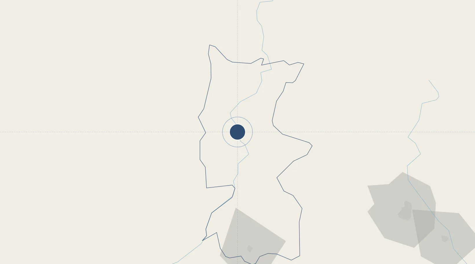
27.3150°, 87.1933°
4,000 ft
Longest runway
1
Runways
1,700 ft
Elevation

Runway & Layout

Tumling Tar Airport runway & taxiway layout
Runway & taxiway layout — OpenStreetMap (ODbL) / OurAirports

Navaids

TTR NDB Tumlingtar 227 kHz
OurAirports

Runways · 1

RunwayDimensions SurfaceTrue headingLit
16/34 4,000 × —ft Unknown
OurAirports

Airport Specifications

IATA code
TMI
OurAirports
ICAO code
VNTR
OurAirports
Airport class
Small airport
OurAirports
Scheduled service
Yes
OurAirports
Runway surface
Unknown
OurAirports
Served city
Tumling Tar
OurAirports

Location

Location of VNTR
Natural Earth 10m (public domain) · Bhojpur · VNTR · 27.32, 87.19GoogleOSMYandex

Nearby Logistics Neighbours

Airports
  1. 1Taplejung Airport50 km
  2. 2Lukla Airport62 km
  3. 3Biratnagar Airport93 km
  4. 4Bhadrapur Airport121 km
  5. 5Bagdogra Airport133 km
Nearest neighbours — logibook spatial index (haversine) over the source coordinates
Cities
  1. 1Biratnagar93 km
  2. 2Laukaha Lcs113 km
  3. 3Pratapganj115 km
  4. 4Siliguri138 km
  5. 5Sherathang Lcs139 km
Nearest neighbours — logibook spatial index (haversine) over the source coordinates
Ports
  1. 1Calcutta542 km
  2. 2Mongla591 km
  3. 3Haldia Port596 km
  4. 4Dhamra723 km
  5. 5Chittagong726 km
Nearest neighbours — logibook spatial index (haversine) over the source coordinates
Trade Zones
  1. 1Gorkha Special Economic Zone3 km
  2. 2Siraha Special Economic Zone96 km
  3. 3Biratnagar Special Economic Zone99 km
  4. 4Jhapa Special Economic Zone99 km
  5. 5Dhanusha Special Economic Zone132 km
Nearest neighbours — logibook spatial index (haversine) over the source coordinates
DatabookThe Record of Consolidated Knowledge
Nepal beyond logistics?
Browse databook

All Sources

AirportsOurAirports
Public domain
Portsthe NGA World Port Index
Public domain (US gov)
LocationsUN/LOCODE
UN/LOCODE — free
Trade Zonesthe World Bank SEZ database
CC BY 4.0
Trade ZonesOpen Zone Map
CC BY
InfrastructureOpenStreetMap
ODbL 1.0
← Nepal airports