Transport Functions
Multimodal
Hub Profile
Place type
Populated place
Region
Delhi
Time zone
Asia/Kolkata
Elevation
215 m
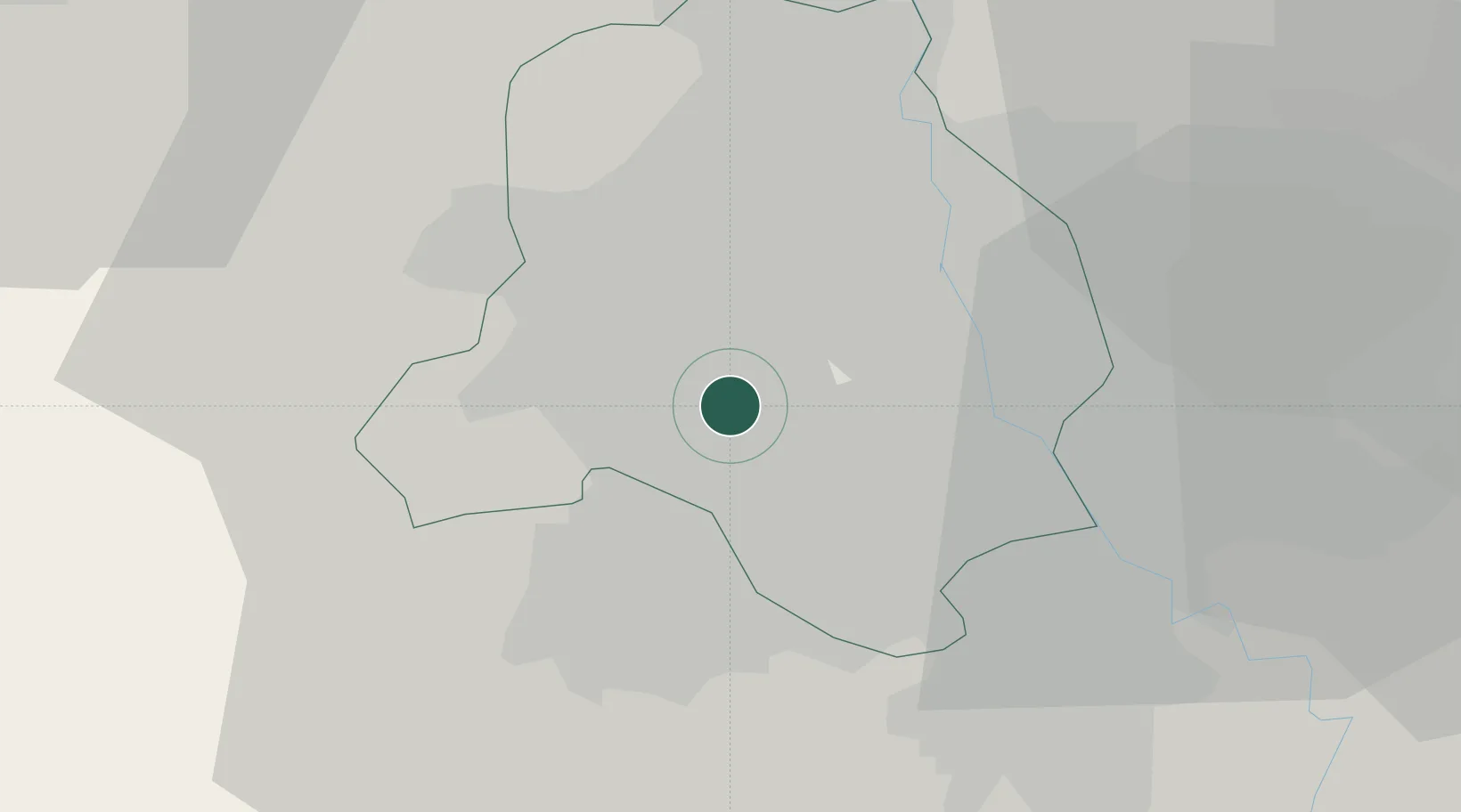
Location
Nearby Logistics Neighbours
Cities
- 1New Delhi11 km
- 2Tughlakabad21 km
- 3Gopalpur21 km
- 4Patparganj23 km
- 5Gurgaon24 km
Airports
Trade Zones
DatabookThe Record of Consolidated Knowledge
India beyond logistics?