Specialized Zone · India

Espire Infrastructure Corporation Limited Active
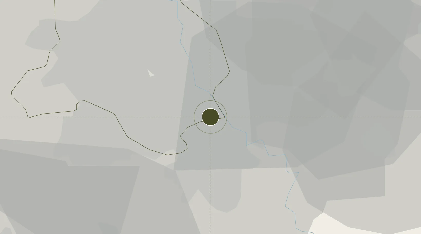
28.5211°, 77.2934°
10 ha
Zone area
896.9 km
Nearest port
11.3 km
Nearest airport

Gateway access

Nearest neighbours — logibook spatial index (haversine) over the source coordinates

Zone profile

Zone type
Specialized Zone
Open Zone Map
Specialization
Real Estate
Open Zone Map
Region
Delhi
Open Zone Map
Status
Active
Open Zone Map
Management
Private
Open Zone Map
Operator
Espire Infrastructure Corporation Limited
Open Zone Map
Legal framework
Haryana Special Economic Zone Act, 2005
Open Zone Map

Location

Location of ozm-2305
Natural Earth 10m (public domain) · Delhi · ozm-2305 · 28.52, 77.29GoogleOSMYandex

Nearby Logistics Neighbours

Ports
  1. 1Dahej897 km
  2. 2Bhavnagar907 km
  3. 3Navlakhi923 km
  4. 4Kandla935 km
  5. 5Magdalla939 km
Nearest neighbours — logibook spatial index (haversine) over the source coordinates
Airports
  1. 1Safdarjung Airport11 km
  2. 2Indira Gandhi International Airport20 km
  3. 3Hindon Airport / Hindon Air Force Station22 km
  4. 4Noida International Airport49 km
  5. 5Aligarh Airport111 km
Nearest neighbours — logibook spatial index (haversine) over the source coordinates
Cities
  1. 1Tughlakabad4 km
  2. 2Greater Noida12 km
  3. 3New Delhi13 km
  4. 4Patparganj13 km
  5. 5Faridabad17 km
Nearest neighbours — logibook spatial index (haversine) over the source coordinates
Trade Zones
  1. 1Dr. Fresh Healthcare Pvt. Ltd.1 km
  2. 2Hcl Technologies5 km
  3. 3Unitech Realty Projects Ltd.6 km
  4. 4Ansal IT City and Parks Limited6 km
  5. 5Noida Special Economic Zone11 km
Nearest neighbours — logibook spatial index (haversine) over the source coordinates
DatabookThe Record of Consolidated Knowledge
India beyond logistics?
Browse databook

All Sources

Trade ZonesOpen Zone Map
CC BY
Portsthe NGA World Port Index
Public domain (US gov)
AirportsOurAirports
Public domain
LocationsUN/LOCODE
UN/LOCODE — free
← India trade zones