UN/LOCODE hub · India
INCHN

Chhani/Vadodora

22.3000°, 73.1833°
2
Transport functions

Transport Functions

Road
Multimodal
UN/LOCODE

Hub Profile

Region
GJ
GeoNames

Location

Location of INCHN
Natural Earth 10m (public domain) · GJ · INCHN · 22.30, 73.18GoogleOSMYandex

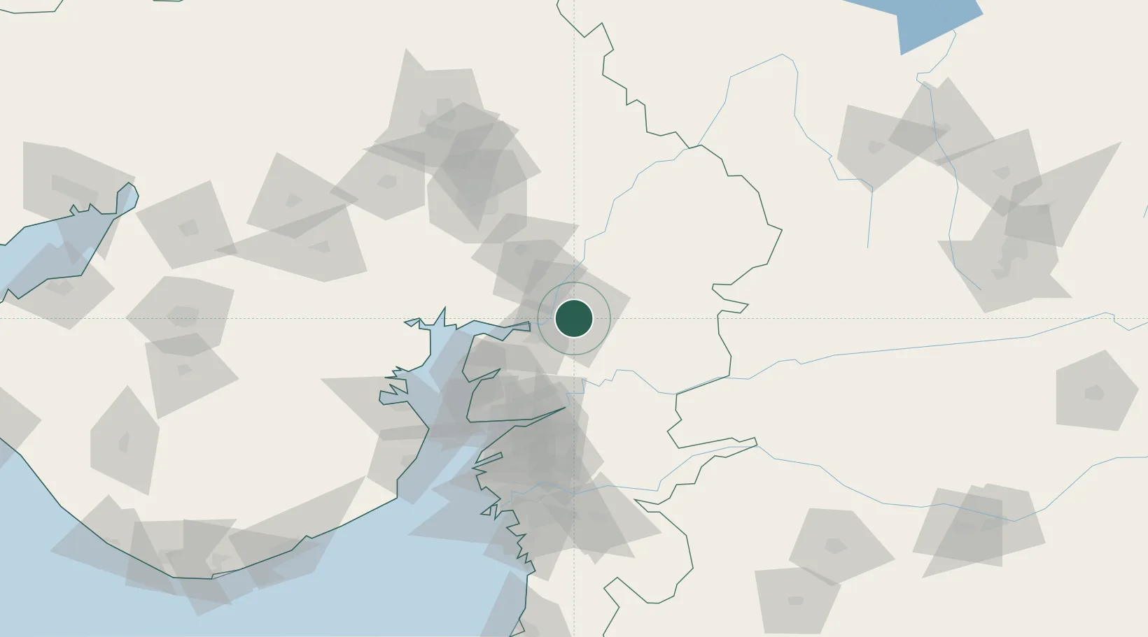
Nearby Logistics Neighbours

Cities
  1. 1Vadodara3 km
  2. 2Baroda4 km
  3. 3SE&C-LTD-SEZ/Waghodia19 km
  4. 4Dishman-Pharmaceutical-SEZ/Kalyangadh62 km
  5. 5Godhra68 km
Nearest neighbours — logibook spatial index (haversine) over the source coordinates
Ports
  1. 1Dahej95 km
  2. 2Bhavnagar115 km
  3. 3Magdalla136 km
  4. 4Hazira147 km
  5. 5Pipavav Bandar231 km
Nearest neighbours — logibook spatial index (haversine) over the source coordinates
Airports
  1. 1Vadodara International Airport6 km
  2. 2Sardar Vallabh Patel International Airport103 km
  3. 3Bhavnagar Airport120 km
  4. 4Surat International Airport139 km
  5. 5Daman Airport210 km
Nearest neighbours — logibook spatial index (haversine) over the source coordinates
Trade Zones
  1. 1L & T Ltd. Vill Ankhol, Vadodara8 km
  2. 2Sterling SEZ Pvt.Ltd.43 km
  3. 3Jubilant Infrastructure Ltd.64 km
  4. 4HBS Pharma SEZ Private Limited, Bharuch88 km
  5. 5Dahej SEZ Ltd.90 km
Nearest neighbours — logibook spatial index (haversine) over the source coordinates
DatabookThe Record of Consolidated Knowledge
India beyond logistics?
Browse databook

All Sources

LocationsUN/LOCODE
UN/LOCODE — free
Portsthe NGA World Port Index
Public domain (US gov)
AirportsOurAirports
Public domain
Trade Zonesthe World Bank SEZ database
CC BY 4.0
Trade ZonesOpen Zone Map
CC BY
← India locations