Specialized Zone · India

L & T Ltd. Vill Ankhol, Vadodara Active
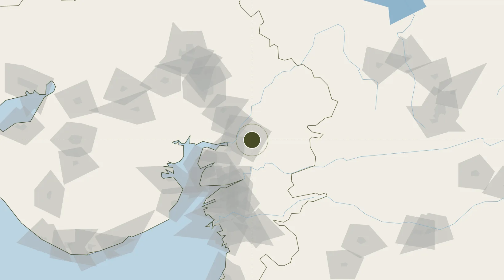
22.3070°, 73.2569°
12 ha
Zone area
100.6 km
Nearest port
4.5 km
Nearest airport

Gateway access

Nearest neighbours — logibook spatial index (haversine) over the source coordinates

Zone profile

Zone type
Specialized Zone
Open Zone Map
Specialization
IT
Open Zone Map
Region
Gujarat
Open Zone Map
Status
Active
Open Zone Map
Management
Private
Open Zone Map
Operator
L&T Technology Services Ltd.
Open Zone Map
Legal framework
Gujarat Special Economic Zone ACT, 2004., The Special Economic Zones Act, 2005
Open Zone Map

Location

Location of ozm-2221
Natural Earth 10m (public domain) · Gujarat · ozm-2221 · 22.31, 73.26GoogleOSMYandex

Nearby Logistics Neighbours

Ports
  1. 1Dahej101 km
  2. 2Bhavnagar121 km
  3. 3Magdalla139 km
  4. 4Hazira151 km
  5. 5Pipavav Bandar237 km
Nearest neighbours — logibook spatial index (haversine) over the source coordinates
Airports
  1. 1Vadodara International Airport5 km
  2. 2Sardar Vallabh Patel International Airport107 km
  3. 3Bhavnagar Airport127 km
  4. 4Surat International Airport143 km
  5. 5Daman Airport213 km
Nearest neighbours — logibook spatial index (haversine) over the source coordinates
Cities
  1. 1Chhani/Vadodora8 km
  2. 2Baroda9 km
  3. 3Vadodara10 km
  4. 4SE&C-LTD-SEZ/Waghodia11 km
  5. 5Godhra63 km
Nearest neighbours — logibook spatial index (haversine) over the source coordinates
Trade Zones
  1. 1Sterling SEZ Pvt.Ltd.50 km
  2. 2Jubilant Infrastructure Ltd.68 km
  3. 3HBS Pharma SEZ Private Limited, Bharuch91 km
  4. 4Dahej SEZ Ltd.96 km
  5. 5GiDC Apparel Park Ahmedabad102 km
Nearest neighbours — logibook spatial index (haversine) over the source coordinates
DatabookThe Record of Consolidated Knowledge
India beyond logistics?
Browse databook

All Sources

Trade ZonesOpen Zone Map
CC BY
Portsthe NGA World Port Index
Public domain (US gov)
AirportsOurAirports
Public domain
LocationsUN/LOCODE
UN/LOCODE — free
← India trade zones