UN/LOCODE hub · India
INGAH

Godhra

22.7500°, 73.6333°
143,644
Population
2
Transport functions

Transport Functions

Rail
Road
UN/LOCODE

Hub Profile

Place type
Populated place
GeoNames
Region
Gujarat
GeoNames
Population
143,644
GeoNames
Time zone
Asia/Kolkata
GeoNames
Elevation
132 m
GeoNames

Location

Location of INGAH
Natural Earth 10m (public domain) · Gujarat · INGAH · 22.75, 73.63GoogleOSMYandex

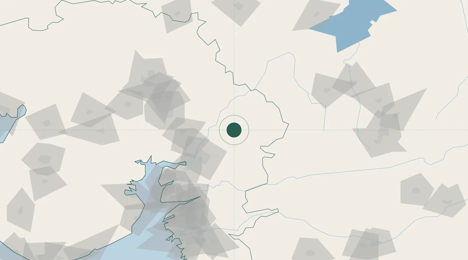
Nearby Logistics Neighbours

Cities
  1. 1SE&C-LTD-SEZ/Waghodia57 km
  2. 2Baroda66 km
  3. 3Chhani/Vadodora68 km
  4. 4Vadodara71 km
  5. 5Khodiyar79 km
Nearest neighbours — logibook spatial index (haversine) over the source coordinates
Ports
  1. 1Dahej163 km
  2. 2Bhavnagar181 km
  3. 3Magdalla200 km
  4. 4Hazira212 km
  5. 5Pipavav Bandar299 km
Nearest neighbours — logibook spatial index (haversine) over the source coordinates
Airports
  1. 1Vadodara International Airport62 km
  2. 2Sardar Vallabh Patel International Airport109 km
  3. 3Bhavnagar Airport186 km
  4. 4Surat International Airport204 km
  5. 5Maharana Pratap Airport209 km
Nearest neighbours — logibook spatial index (haversine) over the source coordinates
Trade Zones
  1. 1L & T Ltd. Vill Ankhol, Vadodara63 km
  2. 2Sterling SEZ Pvt.Ltd.107 km
  3. 3Gift Multi Service SEZ107 km
  4. 4GiDC Apparel Park Ahmedabad109 km
  5. 5Aqualine Properties Pvt. Ltd. Gandhinagar.109 km
Nearest neighbours — logibook spatial index (haversine) over the source coordinates
DatabookThe Record of Consolidated Knowledge
India beyond logistics?
Browse databook

All Sources

LocationsUN/LOCODE
UN/LOCODE — free
LocationsGeoNames
CC BY 4.0
Portsthe NGA World Port Index
Public domain (US gov)
AirportsOurAirports
Public domain
Trade Zonesthe World Bank SEZ database
CC BY 4.0
Trade ZonesOpen Zone Map
CC BY
← India locations