UN/LOCODE hub · India
INBRS

SE&C-LTD-SEZ/Waghodia

22.3000°, 73.3667°
1
Transport functions

Transport Functions

Multimodal
UN/LOCODE

Hub Profile

Region
GJ
GeoNames

Location

Location of INBRS
Natural Earth 10m (public domain) · GJ · INBRS · 22.30, 73.37GoogleOSMYandex

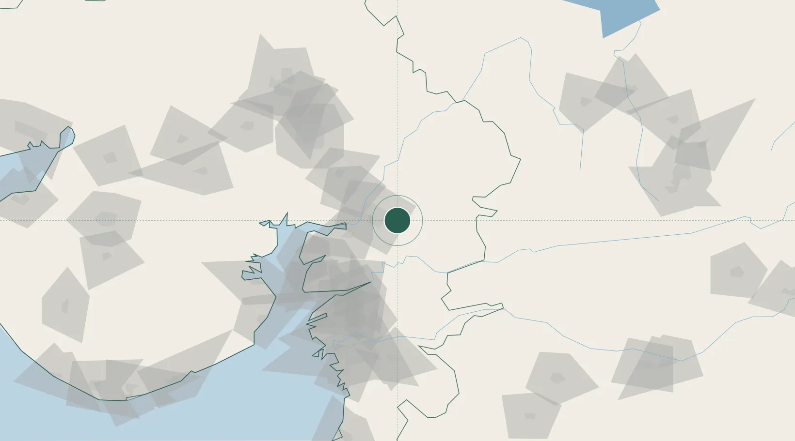
Nearby Logistics Neighbours

Cities
  1. 1Chhani/Vadodora19 km
  2. 2Baroda20 km
  3. 3Vadodara21 km
  4. 4Godhra57 km
  5. 5Dishman-Pharmaceutical-SEZ/Kalyangadh74 km
Nearest neighbours — logibook spatial index (haversine) over the source coordinates
Ports
  1. 1Dahej109 km
  2. 2Bhavnagar131 km
  3. 3Magdalla143 km
  4. 4Hazira155 km
  5. 5Pipavav Bandar245 km
Nearest neighbours — logibook spatial index (haversine) over the source coordinates
Airports
  1. 1Vadodara International Airport15 km
  2. 2Sardar Vallabh Patel International Airport115 km
  3. 3Bhavnagar Airport136 km
  4. 4Surat International Airport147 km
  5. 5Daman Airport214 km
Nearest neighbours — logibook spatial index (haversine) over the source coordinates
Trade Zones
  1. 1L & T Ltd. Vill Ankhol, Vadodara11 km
  2. 2Sterling SEZ Pvt.Ltd.61 km
  3. 3Jubilant Infrastructure Ltd.74 km
  4. 4HBS Pharma SEZ Private Limited, Bharuch95 km
  5. 5Dahej SEZ Ltd.104 km
Nearest neighbours — logibook spatial index (haversine) over the source coordinates
DatabookThe Record of Consolidated Knowledge
India beyond logistics?
Browse databook

All Sources

LocationsUN/LOCODE
UN/LOCODE — free
Portsthe NGA World Port Index
Public domain (US gov)
AirportsOurAirports
Public domain
Trade Zonesthe World Bank SEZ database
CC BY 4.0
Trade ZonesOpen Zone Map
CC BY
← India locations