Transport Functions
Port
Rail
Road
Airport
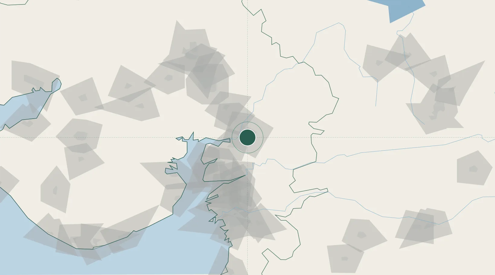
Hub Profile
Place type
Populated place
Region
Gujarat
Population
1,822,221
Time zone
Asia/Kolkata
Elevation
46 m
Logistics facilities
5
Location
Nearby Logistics Neighbours
Cities
- 1Chhani/Vadodora3 km
- 2Baroda5 km
- 3SE&C-LTD-SEZ/Waghodia21 km
- 4Dishman-Pharmaceutical-SEZ/Kalyangadh60 km
- 5Sterling-SEZ/Bharuch69 km
Ports
- 1Dahej92 km
- 2Bhavnagar112 km
- 3Magdalla134 km
- 4Hazira145 km
- 5Pipavav Bandar229 km
Airports
- 1Vadodara International Airport8 km
- 2Sardar Vallabh Patel International Airport103 km
- 3Bhavnagar Airport117 km
- 4Surat International Airport138 km
- 5Daman Airport209 km
Trade Zones
DatabookThe Record of Consolidated Knowledge
India beyond logistics?