UN/LOCODE hub · India
INBRC

Baroda

22.3306°, 73.1745°
1
Transport functions

Transport Functions

Multimodal
UN/LOCODE

Hub Profile

Place type
Populated place
GeoNames
Region
Rajasthan
GeoNames
Time zone
Asia/Kolkata
GeoNames
Elevation
208 m
GeoNames
Logistics facilities
2
UN/LOCODE

Location

Location of INBRC
Natural Earth 10m (public domain) · Rajasthan · INBRC · 22.33, 73.17GoogleOSMYandex

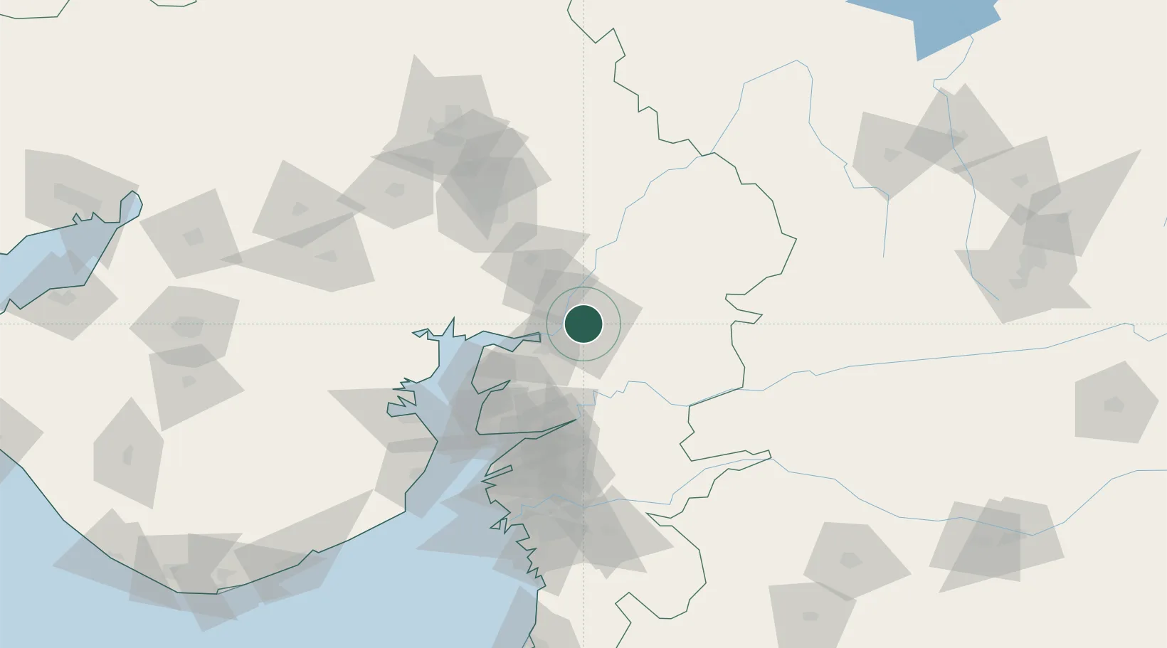
Nearby Logistics Neighbours

Cities
  1. 1Chhani/Vadodora4 km
  2. 2Vadodara5 km
  3. 3SE&C-LTD-SEZ/Waghodia20 km
  4. 4Dishman-Pharmaceutical-SEZ/Kalyangadh64 km
  5. 5Godhra66 km
Nearest neighbours — logibook spatial index (haversine) over the source coordinates
Ports
  1. 1Dahej96 km
  2. 2Bhavnagar116 km
  3. 3Magdalla138 km
  4. 4Hazira150 km
  5. 5Pipavav Bandar233 km
Nearest neighbours — logibook spatial index (haversine) over the source coordinates
Airports
  1. 1Vadodara International Airport5 km
  2. 2Sardar Vallabh Patel International Airport100 km
  3. 3Bhavnagar Airport121 km
  4. 4Surat International Airport142 km
  5. 5Daman Airport214 km
Nearest neighbours — logibook spatial index (haversine) over the source coordinates
Trade Zones
  1. 1L & T Ltd. Vill Ankhol, Vadodara9 km
  2. 2Sterling SEZ Pvt.Ltd.43 km
  3. 3Jubilant Infrastructure Ltd.66 km
  4. 4HBS Pharma SEZ Private Limited, Bharuch92 km
  5. 5Dahej SEZ Ltd.92 km
Nearest neighbours — logibook spatial index (haversine) over the source coordinates
DatabookThe Record of Consolidated Knowledge
India beyond logistics?
Browse databook

All Sources

LocationsUN/LOCODE
UN/LOCODE — free
Portsthe NGA World Port Index
Public domain (US gov)
AirportsOurAirports
Public domain
Trade Zonesthe World Bank SEZ database
CC BY 4.0
Trade ZonesOpen Zone Map
CC BY
← India locations