UN/LOCODE hub · India
INBWS

Afs/Kapashera

28.8667°, 77.1333°
1
Transport functions

Transport Functions

Multimodal
UN/LOCODE

Hub Profile

Region
DL
GeoNames

Location

Location of INBWS
Natural Earth 10m (public domain) · DL · INBWS · 28.87, 77.13GoogleOSMYandex

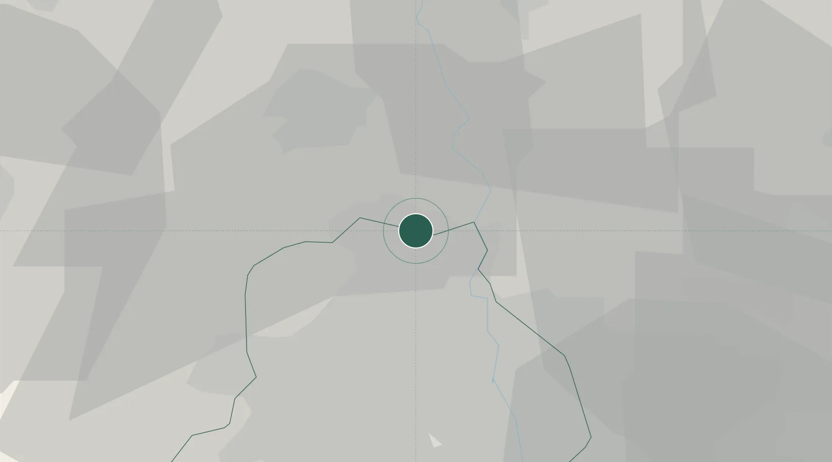
Nearby Logistics Neighbours

Cities
  1. 1Loni-1 LCD/Chaziabad20 km
  2. 2Loni24 km
  3. 3Bari30 km
  4. 4Dashrath Puri30 km
  5. 5New Delhi30 km
Nearest neighbours — logibook spatial index (haversine) over the source coordinates
Ports
  1. 1Dahej921 km
  2. 2Bhavnagar930 km
  3. 3Navlakhi937 km
  4. 4Kandla948 km
  5. 5Magdalla965 km
Nearest neighbours — logibook spatial index (haversine) over the source coordinates
Airports
  1. 1Hindon Airport / Hindon Air Force Station28 km
  2. 2Safdarjung Airport32 km
  3. 3Indira Gandhi International Airport35 km
  4. 4Noida International Airport90 km
  5. 5Maharaja Agrasen International Airport140 km
Nearest neighbours — logibook spatial index (haversine) over the source coordinates
Trade Zones
  1. 1Genpact Infrastructure (Jaipur) Private Limited25 km
  2. 2Parsvnath Developers Limited26 km
  3. 3Agro & Food Processing Special Economic Zone31 km
  4. 4Ansal IT City and Parks Limited36 km
  5. 5Anant Raj Industries, IT Park Rai37 km
Nearest neighbours — logibook spatial index (haversine) over the source coordinates
DatabookThe Record of Consolidated Knowledge
India beyond logistics?
Browse databook

All Sources

LocationsUN/LOCODE
UN/LOCODE — free
Portsthe NGA World Port Index
Public domain (US gov)
AirportsOurAirports
Public domain
Trade Zonesthe World Bank SEZ database
CC BY 4.0
Trade ZonesOpen Zone Map
CC BY
← India locations