Transport Functions
Rail
Road
Multimodal
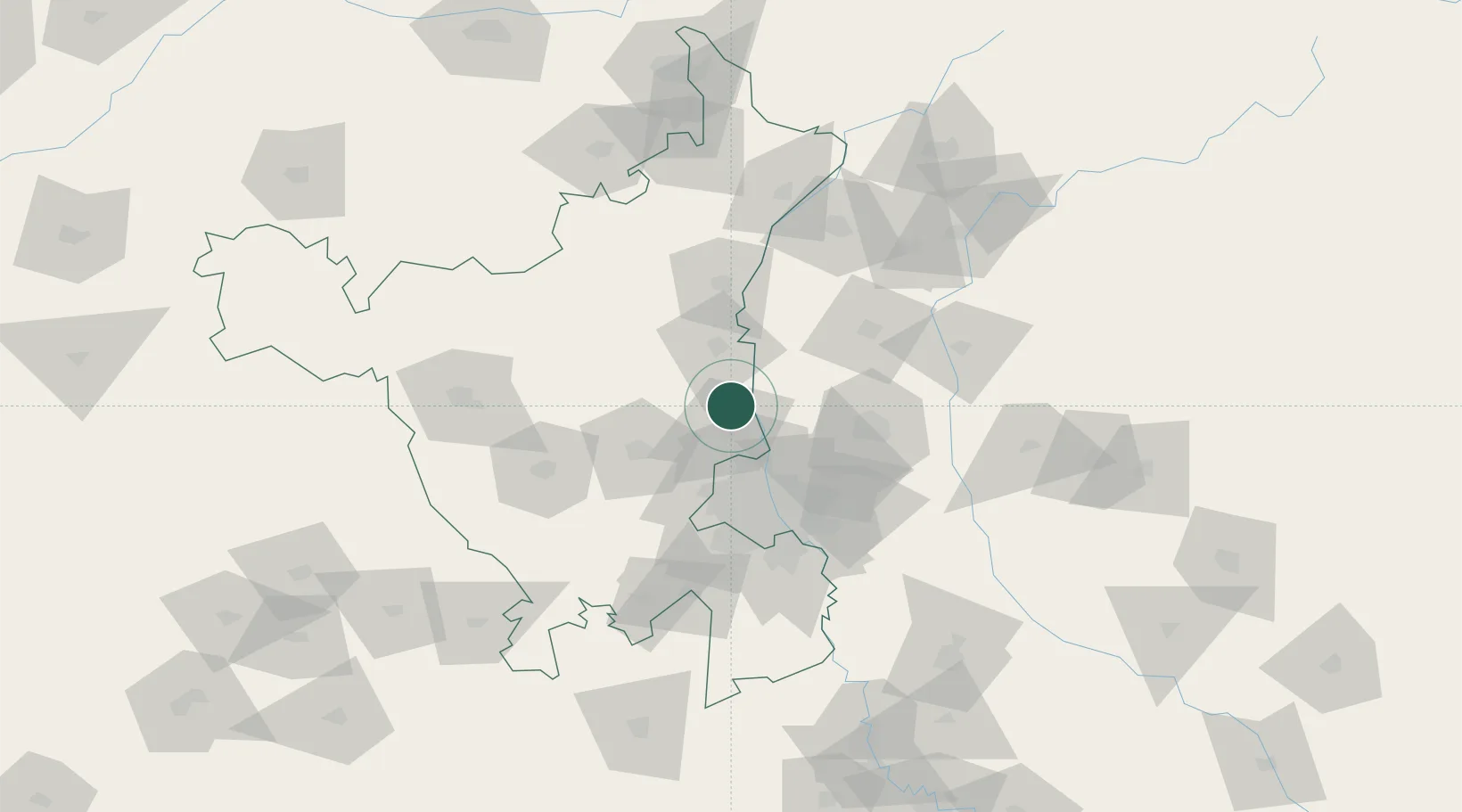
Hub Profile
Place type
Populated place
Region
Rajasthan
Time zone
Asia/Kolkata
Elevation
333 m
Location
Nearby Logistics Neighbours
Cities
- 1Sonipat10 km
- 2Samalkha ICD/Panipat14 km
- 3Afs/Kapashera30 km
- 4Panipat38 km
- 5Loni-1 LCD/Chaziabad48 km
Airports
DatabookThe Record of Consolidated Knowledge
India beyond logistics?