Large airport · India

Maharaja Agrasen International AirportVIHR
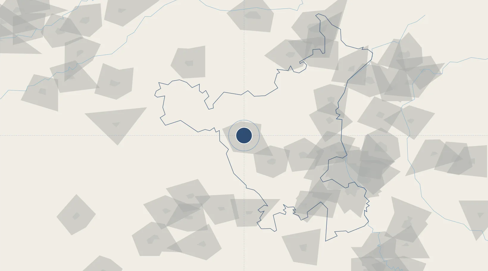
29.1861°, 75.7414°
10,236 ft
Longest runway
1
Runways
700 ft
Elevation

Runway & Layout

Maharaja Agrasen International Airport runway & taxiway layout
Runway & taxiway layout — OpenStreetMap (ODbL) / OurAirports

Runways · 1

RunwayDimensions SurfaceTrue headingLit
12/30 10,236 × 150ft Asphalt 120°
OurAirports

Airport Specifications

IATA code
HSS
OurAirports
ICAO code
VIHR
OurAirports
Airport class
Large airport
OurAirports
Scheduled service
Yes
OurAirports
Runway surface
Asphalt
OurAirports
Served city
Hisar
OurAirports

Location

Location of VIHR
Natural Earth 10m (public domain) · Haryana · VIHR · 29.19, 75.74GoogleOSMYandex

Nearby Logistics Neighbours

Airports
  1. 1Sirsa Air Force Station83 km
  2. 2Indira Gandhi International Airport149 km
  3. 3Bhatinda Air Force Station154 km
  4. 4Safdarjung Airport157 km
  5. 5Hindon Airport / Hindon Air Force Station166 km
Nearest neighbours — logibook spatial index (haversine) over the source coordinates
Cities
  1. 1Hazira66 km
  2. 2Mansa95 km
  3. 3Sunam106 km
  4. 4Sonipat119 km
  5. 5Panipat122 km
Nearest neighbours — logibook spatial index (haversine) over the source coordinates
Ports
  1. 1Navlakhi871 km
  2. 2Kandla879 km
  3. 3Dahej892 km
  4. 4Bhavnagar897 km
  5. 5Bedi930 km
Nearest neighbours — logibook spatial index (haversine) over the source coordinates
Trade Zones
  1. 1Anant Raj Industries Ltd. , IT Park Manesar145 km
  2. 2Gurgaon Infospace Ltd, Gurgaon150 km
  3. 3M s. Orient Craft Infrastructure Limited150 km
  4. 4Lanco Solar Pvt.Ltd152 km
  5. 5DLF Cyber City, Gurgaon152 km
Nearest neighbours — logibook spatial index (haversine) over the source coordinates
DatabookThe Record of Consolidated Knowledge
India beyond logistics?
Browse databook

All Sources

AirportsOurAirports
Public domain
Portsthe NGA World Port Index
Public domain (US gov)
LocationsUN/LOCODE
UN/LOCODE — free
Trade Zonesthe World Bank SEZ database
CC BY 4.0
Trade ZonesOpen Zone Map
CC BY
InfrastructureOpenStreetMap
ODbL 1.0
← India airports