Transport Functions
Rail
Road
Hub Profile
Place type
Populated place
Region
Haryana
Population
289,333
Time zone
Asia/Kolkata
Elevation
229 m
Logistics facilities
8
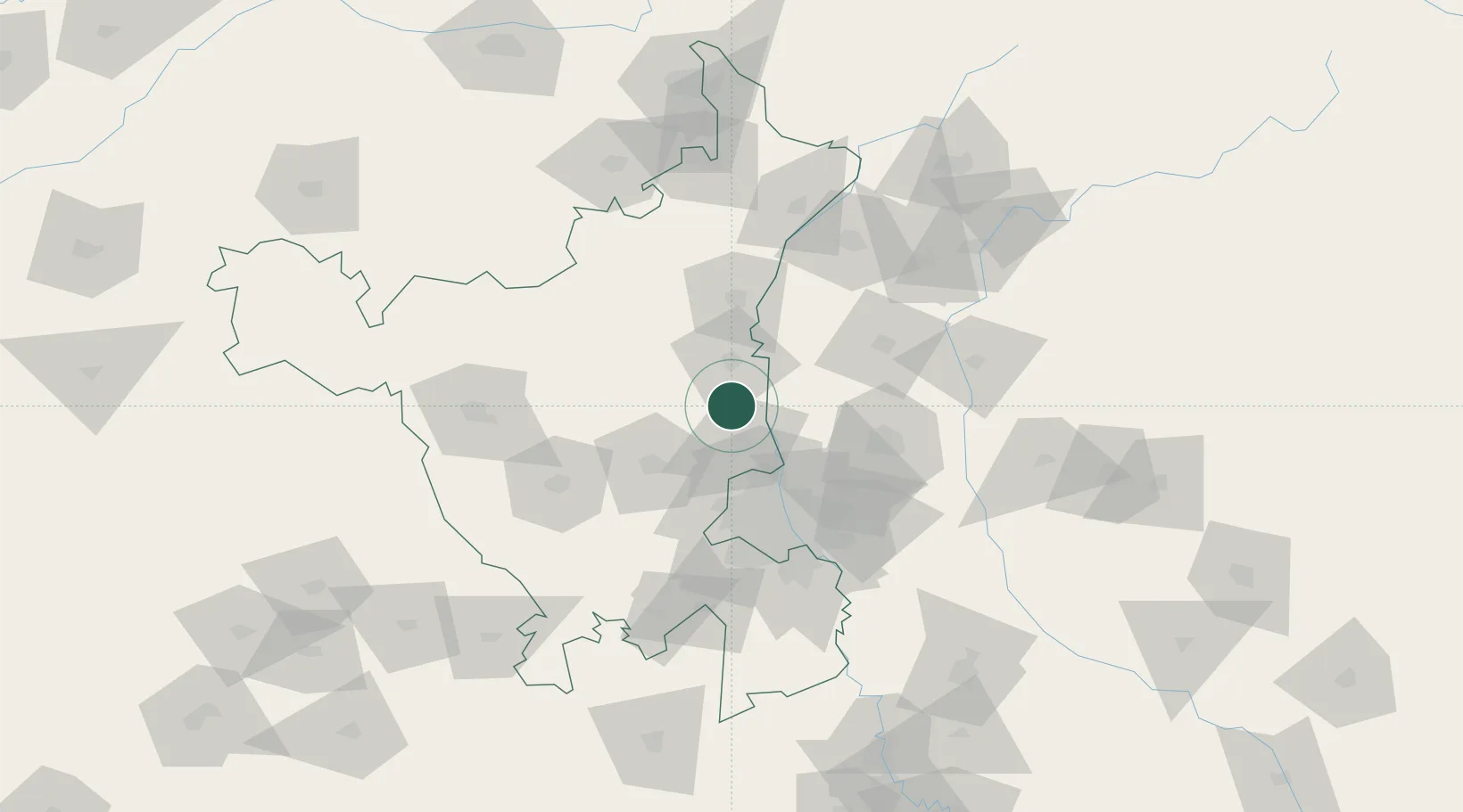
Location
Nearby Logistics Neighbours
Cities
- 1Samalkha ICD/Panipat7 km
- 2Bari10 km
- 3Panipat29 km
- 4Afs/Kapashera39 km
- 5Karnal55 km
Airports
DatabookThe Record of Consolidated Knowledge
India beyond logistics?