UN/LOCODE hub · India
INDWN

Samalkha ICD/Panipat

29.2417°, 77.0067°
1
Transport functions

Transport Functions

Multimodal
UN/LOCODE

Hub Profile

Region
HR
GeoNames
Logistics facilities
3
UN/LOCODE

Location

Location of INDWN
Natural Earth 10m (public domain) · HR · INDWN · 29.24, 77.01GoogleOSMYandex

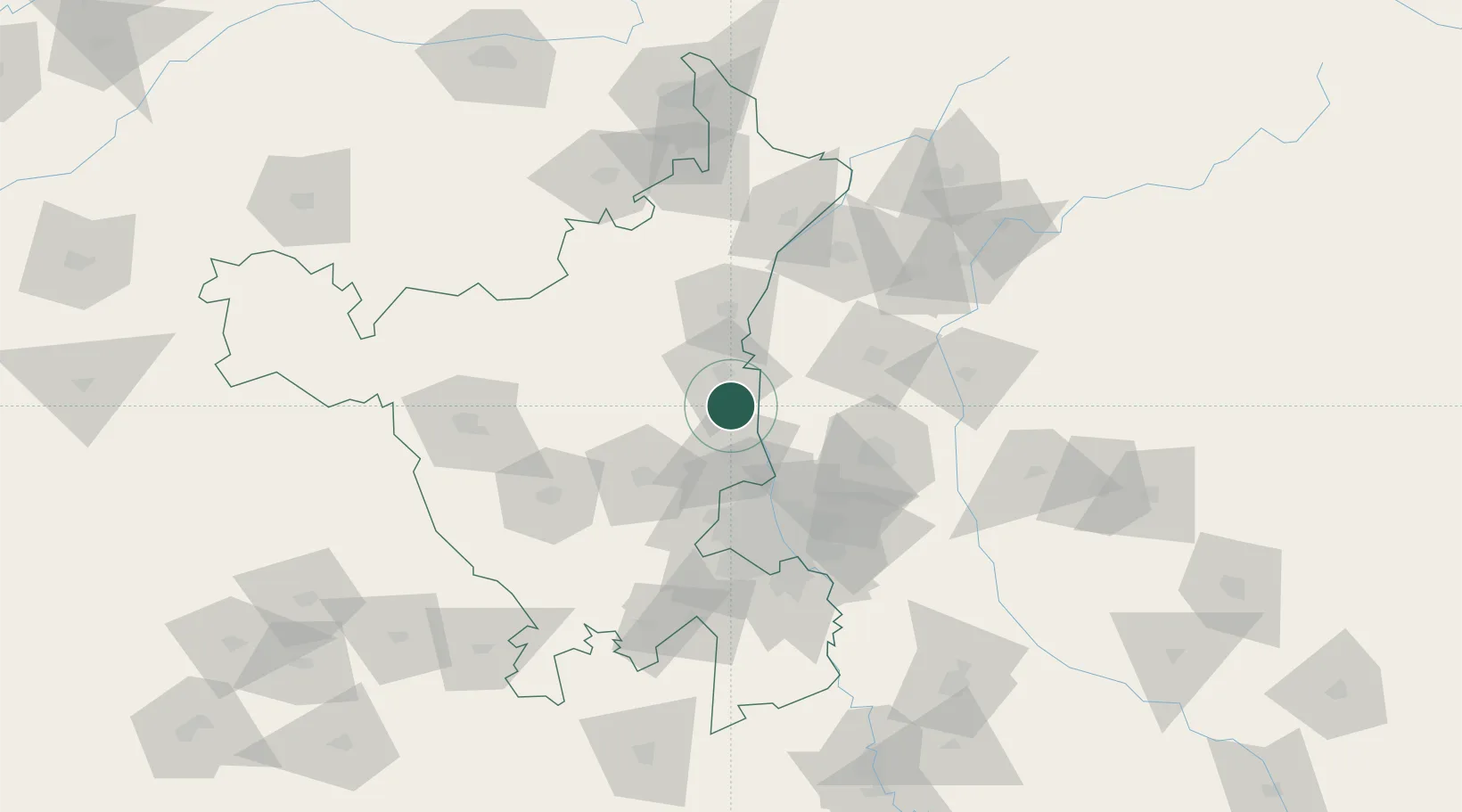
Nearby Logistics Neighbours

Cities
  1. 1Sonipat7 km
  2. 2Bari14 km
  3. 3Panipat24 km
  4. 4Afs/Kapashera44 km
  5. 5Karnal49 km
Nearest neighbours — logibook spatial index (haversine) over the source coordinates
Ports
  1. 1Dahej951 km
  2. 2Navlakhi957 km
  3. 3Bhavnagar959 km
  4. 4Kandla967 km
  5. 5Magdalla996 km
Nearest neighbours — logibook spatial index (haversine) over the source coordinates
Airports
  1. 1Hindon Airport / Hindon Air Force Station69 km
  2. 2Safdarjung Airport75 km
  3. 3Indira Gandhi International Airport77 km
  4. 4Maharaja Agrasen International Airport123 km
  5. 5Ambala Air Force Station127 km
Nearest neighbours — logibook spatial index (haversine) over the source coordinates
Trade Zones
  1. 1Genpact Infrastructure (Jaipur) Private Limited68 km
  2. 2Parsvnath Developers Limited69 km
  3. 3Agro & Food Processing Special Economic Zone74 km
  4. 4Anant Raj Industries, IT Park Rai79 km
  5. 5Ansal IT City and Parks Limited80 km
Nearest neighbours — logibook spatial index (haversine) over the source coordinates
DatabookThe Record of Consolidated Knowledge
India beyond logistics?
Browse databook

All Sources

LocationsUN/LOCODE
UN/LOCODE — free
Portsthe NGA World Port Index
Public domain (US gov)
AirportsOurAirports
Public domain
Trade Zonesthe World Bank SEZ database
CC BY 4.0
Trade ZonesOpen Zone Map
CC BY
← India locations