About
Methodology
Sources
Licensing
English
EN
English
TR
Türkçe
DE
Deutsch
FR
Français
ES
Español
IT
Italiano
PT
Português
NL
Nederlands
PL
Polski
RU
Русский
UK
Українська
CS
Čeština
RO
Română
EL
Ελληνικά
BG
Български
AR
العربية
FA
فارسی
UR
اردو
HI
हिन्दी
BN
বাংলা
ID
Bahasa Indonesia
VI
Tiếng Việt
ZH
中文
JA
日本語
KO
한국어
logibook
/
Countries
/
Israel
/
Locations
/
Tel Aviv-Yafo
UN/LOCODE hub ·
Israel
IL
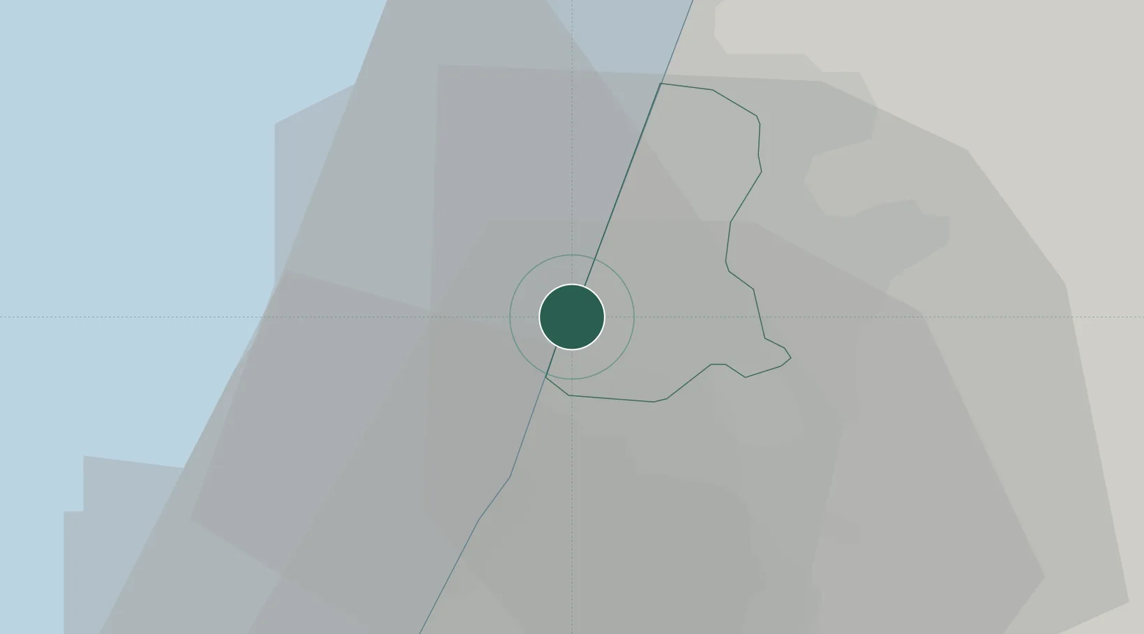
TLV
Tel Aviv-Yafo
32.0500°, 34.7500°
5
Transport functions
Transport Functions
Port
Rail
Road
Airport
Postal
UN/LOCODE
Hub Profile
Region
TA
GeoNames
Location
Natural Earth 10m (public domain) · TA · ILTLV · 32.05, 34.75
Google ↗
OSM ↗
Yandex ↗
Nearby Logistics Neighbours
Cities
1
Bet Dagan
8 km
2
Savyon
11 km
3
Tzrifin
14 km
4
Magshimim
14 km
5
Lod Overseas
17 km
Nearest neighbours — logibook spatial index (haversine) over the source coordinates
Ports
1
Ashdod
28 km
2
Hadera
48 km
3
Ashqelon
49 km
4
Haifa
88 km
5
Al Arish
133 km
Nearest neighbours — logibook spatial index (haversine) over the source coordinates
Airports
1
Ben Gurion International Airport
14 km
2
Tel Nof Air Base
24 km
3
Ramat David Air Base
79 km
4
Uri Michaeli Haifa International Airport
89 km
5
Nevatim Air Base
97 km
Nearest neighbours — logibook spatial index (haversine) over the source coordinates
Trade Zones
1
Bethlehem Industrial Estate -BIE
57 km
2
Jenin Industrial Free Zone (JIFZ)
68 km
3
Gaza Industrial Estate (GIE)
69 km
4
Jericho Argo- Industrial Park (JAIP)
69 km
5
Al-Karama Free Zone
78 km
Nearest neighbours — logibook spatial index (haversine) over the source coordinates
Data
book
The Record of Consolidated Knowledge
Israel beyond logistics?
Browse databook
→
All Sources
Locations
UN/LOCODE
UN/LOCODE — free
↗
Ports
the NGA World Port Index
Public domain (US gov)
↗
Airports
OurAirports
Public domain
↗
Trade Zones
the World Bank SEZ database
CC BY 4.0
↗
Trade Zones
Open Zone Map
CC BY
↗
← Israel locations