Export Processing Zone · Palestinian Territories
Gaza Industrial Estate (GIE) Active
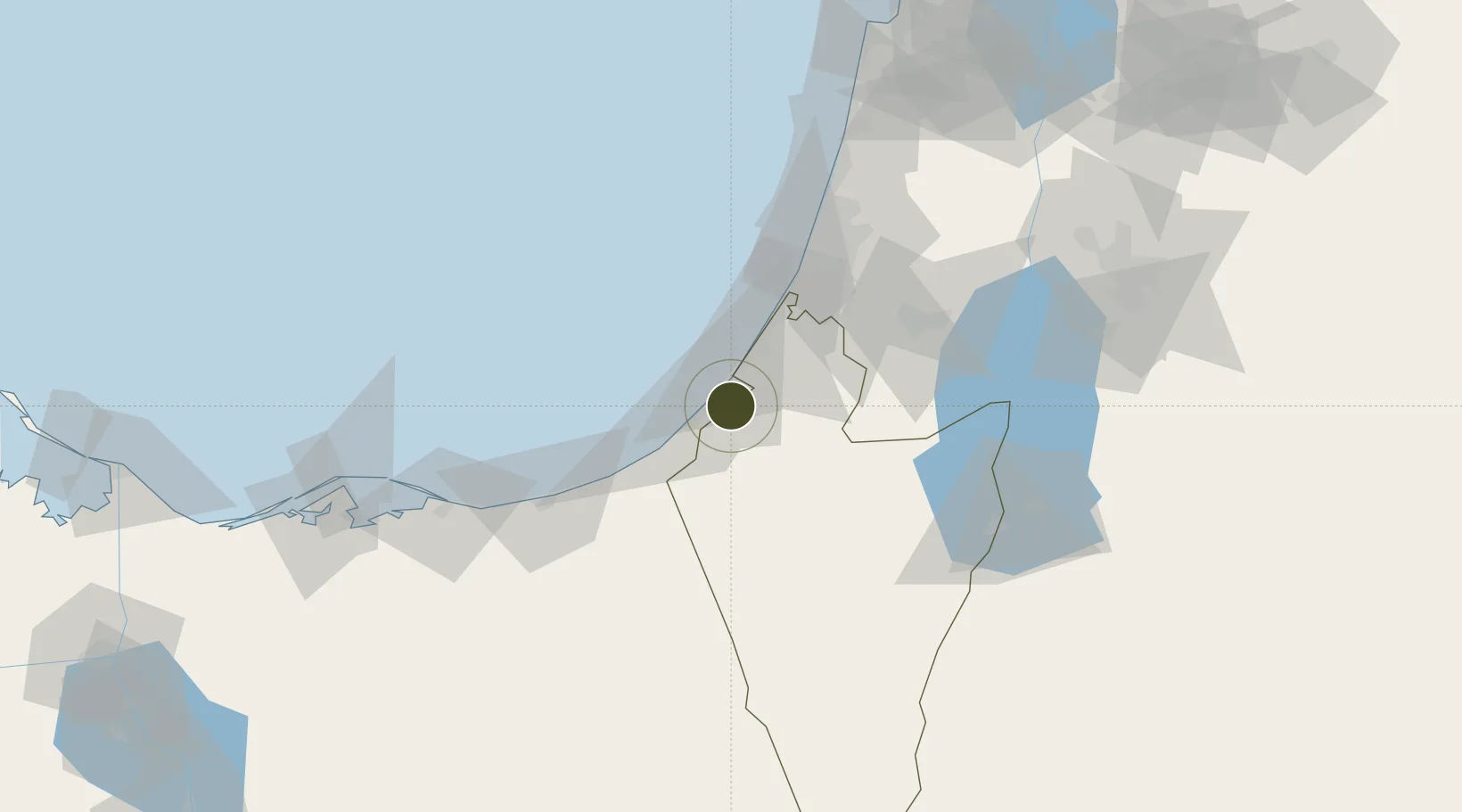
31.4765°, 34.4752°
50 ha
Zone area
21.3 km
Nearest port
52.0 km
Nearest airport
Gateway access
Zone profile
Zone type
Export Processing Zone
Region
HaDarom
Status
Active
Management
Public
Operator
PALESTINIAN INDUSTRIAL ESTATES & FREE ZONES AUTHORITY (PIEFZA)
Legal framework
Law No. 10 of 1998 on Industrial Estates and Industrial Free Zones
Location
Nearby Logistics Neighbours
Airports
- 1Tel Nof Air Base52 km
- 2El Jora Airport54 km
- 3Nevatim Air Base59 km
- 4Ben Gurion International Airport71 km
- 5El Arish International Airport77 km
Cities
- 1Julis28 km
- 2Kerem Shalom36 km
- 3Ashdod Logisticare40 km
- 4Ashdod Bonded Air41 km
- 5Ashdod Fridenson41 km
Trade Zones
- 1Bethlehem Industrial Estate -BIE73 km
- 2Jericho Argo- Industrial Park (JAIP)101 km
- 3Al-Karak Free Zone114 km
- 4Al-Karama Free Zone116 km
- 5Al Tafilah Development Zone124 km
DatabookThe Record of Consolidated Knowledge
Palestinian Territories beyond logistics?