Transport Functions
Road
Multimodal
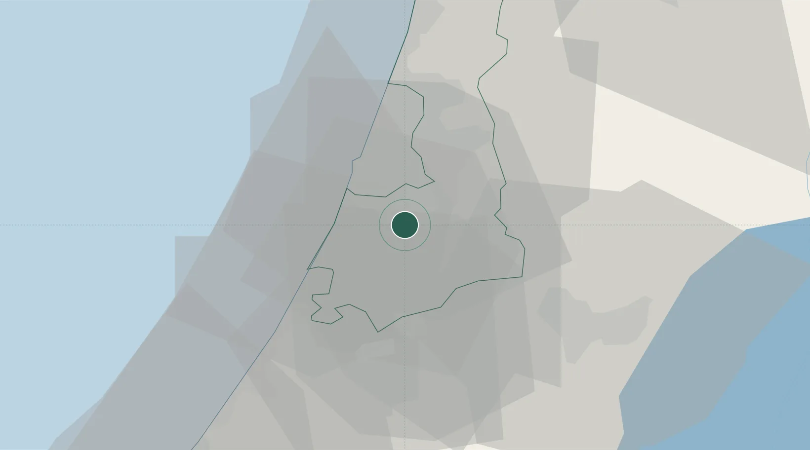
Hub Profile
Place type
Populated place
Region
Central District
Time zone
Asia/Jerusalem
Elevation
64 m
Location
Nearby Logistics Neighbours
Cities
- 1Lod Overseas5 km
- 2Post Office Lod5 km
- 3Swissport Cargo ICD/Lod5 km
- 4Bet Dagan6 km
- 5Savyon10 km
Airports
- 1Ben Gurion International Airport9 km
- 2Tel Nof Air Base12 km
- 3Nevatim Air Base84 km
- 4Ramat David Air Base86 km
- 5Bar Yehuda Airfield87 km
Trade Zones
DatabookThe Record of Consolidated Knowledge
Israel beyond logistics?