UN/LOCODE hub · Israel
ILSWS

Swissport Cargo ICD/Lod

31.9500°, 34.8833°
1
Transport functions

Transport Functions

Multimodal
UN/LOCODE

Hub Profile

Region
TA
GeoNames

Location

Location of ILSWS
Natural Earth 10m (public domain) · TA · ILSWS · 31.95, 34.88GoogleOSMYandex

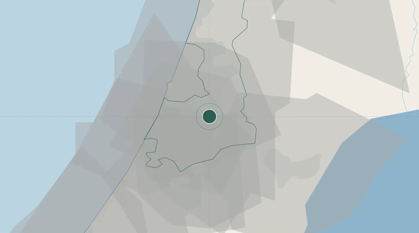
Nearby Logistics Neighbours

Cities
  1. 1Lod Overseas0 km
  2. 2Post Office Lod0 km
  3. 3Tzrifin5 km
  4. 4Bet Dagan8 km
  5. 5Savyon9 km
Nearest neighbours — logibook spatial index (haversine) over the source coordinates
Ports
  1. 1Ashdod27 km
  2. 2Ashqelon48 km
  3. 3Hadera58 km
  4. 4Haifa97 km
  5. 5Al Arish134 km
Nearest neighbours — logibook spatial index (haversine) over the source coordinates
Airports
  1. 1Ben Gurion International Airport7 km
  2. 2Tel Nof Air Base14 km
  3. 3Nevatim Air Base83 km
  4. 4Bar Yehuda Airfield84 km
  5. 5Ramat David Air Base84 km
Nearest neighbours — logibook spatial index (haversine) over the source coordinates
Trade Zones
  1. 1Bethlehem Industrial Estate -BIE40 km
  2. 2Jericho Argo- Industrial Park (JAIP)54 km
  3. 3Al-Karama Free Zone64 km
  4. 4Gaza Industrial Estate (GIE)65 km
  5. 5Jenin Industrial Free Zone (JIFZ)68 km
Nearest neighbours — logibook spatial index (haversine) over the source coordinates
DatabookThe Record of Consolidated Knowledge
Israel beyond logistics?
Browse databook

All Sources

LocationsUN/LOCODE
UN/LOCODE — free
Portsthe NGA World Port Index
Public domain (US gov)
AirportsOurAirports
Public domain
Trade Zonesthe World Bank SEZ database
CC BY 4.0
Trade ZonesOpen Zone Map
CC BY
← Israel locations