Transport Functions
Multimodal
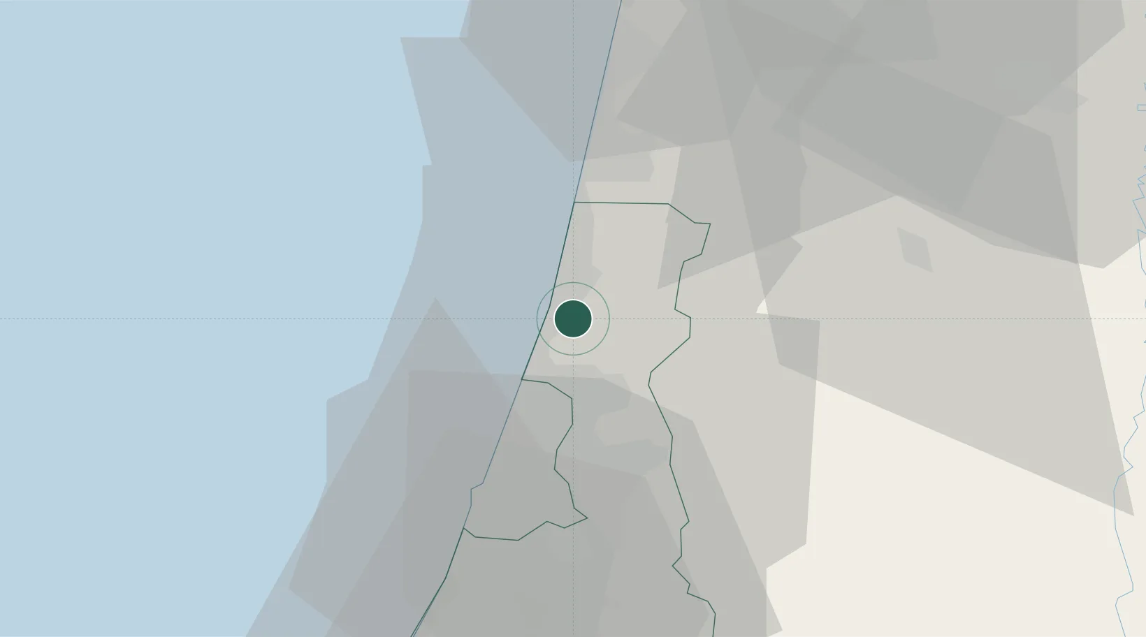
Hub Profile
Place type
Populated place
Region
Central District
Population
1,193
Time zone
Asia/Jerusalem
Elevation
37 m
Location
Nearby Logistics Neighbours
DatabookThe Record of Consolidated Knowledge
Israel beyond logistics?