Transport Functions
Port
Hub Profile
Place type
Populated place
Region
Munster
Population
357
Time zone
Europe/Dublin
Elevation
118 m
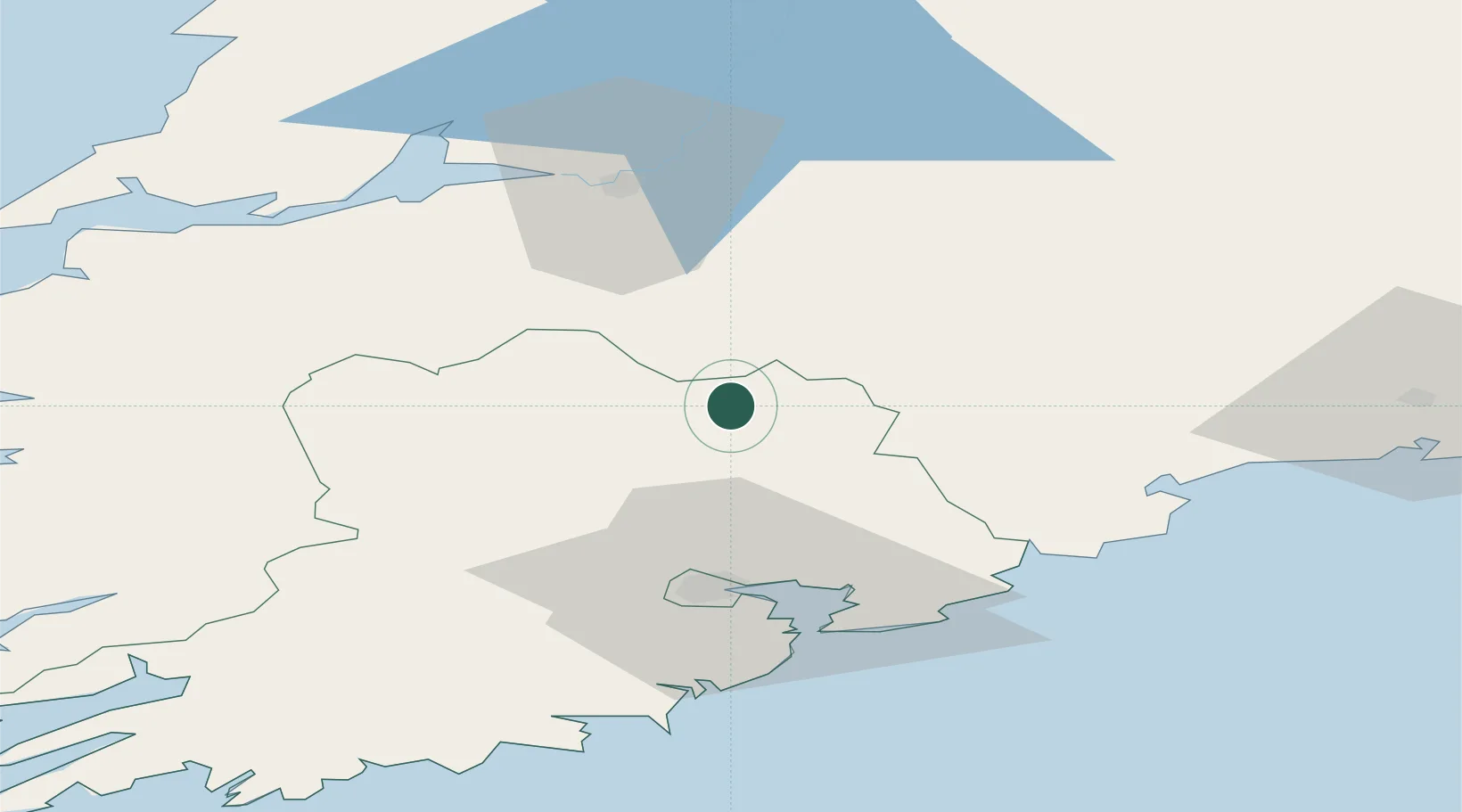
Location
Nearby Logistics Neighbours
Cities
- 1Annacotty20 km
- 2Tallow33 km
- 3Little Island/Cork37 km
- 4Ford's Wharf (Topaz Energy Terminal)39 km
- 5Cork39 km
Airports
- 1Cork International Airport44 km
- 2Shannon Airport63 km
- 3Kerry Airport76 km
- 4Waterford Airport91 km
- 5Inisheer Aerodrome118 km
Trade Zones
DatabookThe Record of Consolidated Knowledge
Ireland beyond logistics?