Transport Functions
Rail
Road
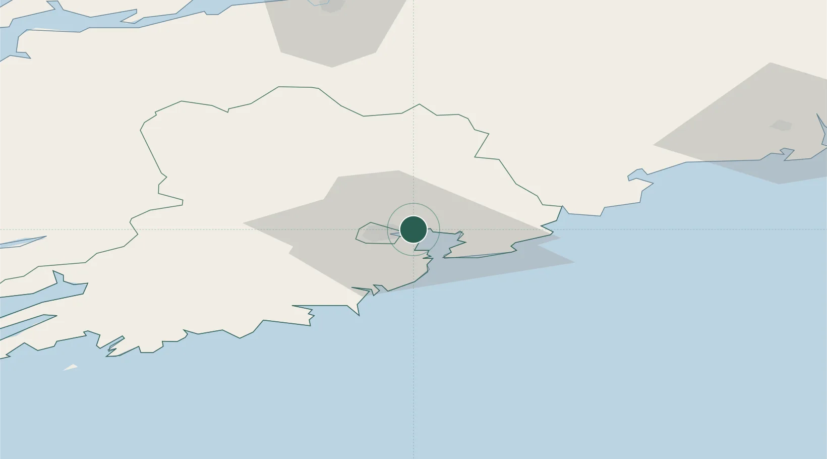
Location
Nearby Logistics Neighbours
Cities
- 1Cork3 km
- 2Passage West4 km
- 3Ford's Wharf (Topaz Energy Terminal)6 km
- 4Rushbrooke6 km
- 5Ringaskiddy Deepwater Terminal8 km
Airports
- 1Cork International Airport12 km
- 2Kerry Airport86 km
- 3Waterford Airport92 km
- 4Shannon Airport97 km
- 5Inisheer Aerodrome152 km
Trade Zones
DatabookThe Record of Consolidated Knowledge
Ireland beyond logistics?