UN/LOCODE hub · Ireland
IEORK
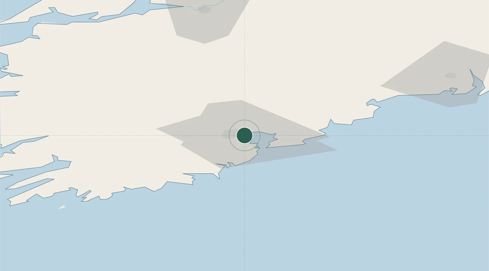
Cork
51.8797°, -8.3786°
190,384
Population
3
Transport functions
3
Container terminals
Transport Functions
Port
Airport
Postal
Hub Profile
Place type
Provincial seat
Region
Munster
Population
190,384
Time zone
Europe/Dublin
Elevation
10 m
Logistics facilities
9
Container terminals
3
Location
Nearby Logistics Neighbours
Cities
Airports
- 1Cork International Airport9 km
- 2Kerry Airport85 km
- 3Waterford Airport95 km
- 4Shannon Airport99 km
- 5Inisheer Aerodrome153 km
Trade Zones
DatabookThe Record of Consolidated Knowledge
Ireland beyond logistics?