UN/LOCODE hub · Ireland
IEFRW

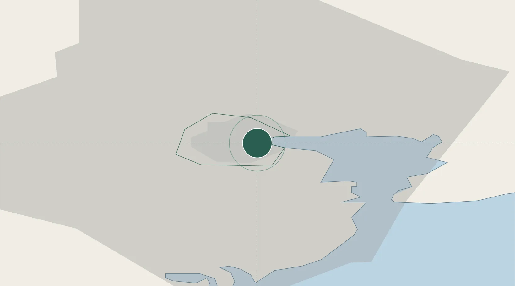
Ford's Wharf (Topaz Energy Terminal)

51.8833°, -8.4333°
1
Transport functions

Transport Functions

Port
UN/LOCODE

Hub Profile

Region
CO
GeoNames

Location

Location of IEFRW
Natural Earth 10m (public domain) · CO · IEFRW · 51.88, -8.43GoogleOSMYandex

Nearby Logistics Neighbours

Cities
  1. 1Cork4 km
  2. 2Little Island/Cork6 km
  3. 3Passage West6 km
  4. 4Rushbrooke9 km
  5. 5Waterfall9 km
Nearest neighbours — logibook spatial index (haversine) over the source coordinates
Ports
  1. 1Cobh10 km
  2. 2Cork12 km
  3. 3Bantry73 km
  4. 4Limerick84 km
  5. 5Foynes94 km
Nearest neighbours — logibook spatial index (haversine) over the source coordinates
Airports
  1. 1Cork International Airport6 km
  2. 2Kerry Airport82 km
  3. 3Shannon Airport97 km
  4. 4Waterford Airport98 km
  5. 5Inisheer Aerodrome150 km
Nearest neighbours — logibook spatial index (haversine) over the source coordinates
Trade Zones
  1. 1Shannon Free Zone96 km
  2. 2Dublin International Financial Services Centre220 km
  3. 3Cornwall Newquay Aerohub Enterprise Zone289 km
  4. 4Oceansgate Plymouth341 km
  5. 5Heart of the South West Enterprise Zone345 km
Nearest neighbours — logibook spatial index (haversine) over the source coordinates
DatabookThe Record of Consolidated Knowledge
Ireland beyond logistics?
Browse databook

All Sources

LocationsUN/LOCODE
UN/LOCODE — free
Portsthe NGA World Port Index
Public domain (US gov)
AirportsOurAirports
Public domain
Trade Zonesthe World Bank SEZ database
CC BY 4.0
Trade ZonesOpen Zone Map
CC BY
← Ireland locations