Transport Functions
Multimodal
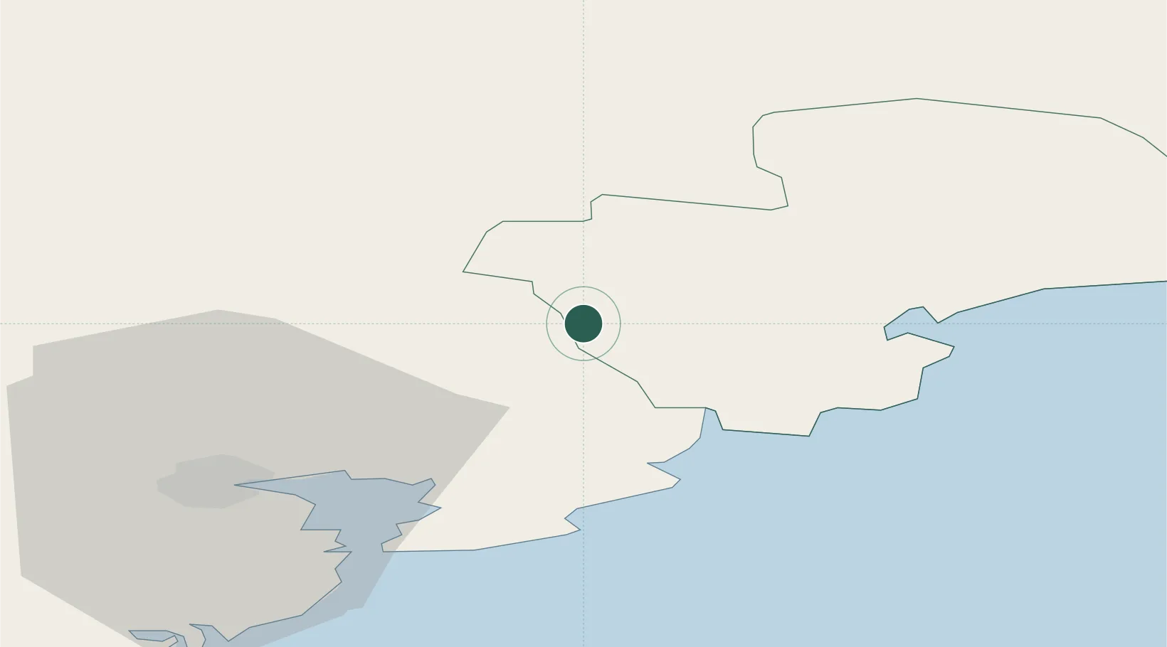
Hub Profile
Place type
Populated place
Region
Munster
Population
946
Time zone
Europe/Dublin
Elevation
15 m
Location
Nearby Logistics Neighbours
Cities
- 1Ardmore24 km
- 2Little Island/Cork32 km
- 3Kildorrery33 km
- 4Rushbrooke34 km
- 5Passage West34 km
Airports
- 1Cork International Airport43 km
- 2Waterford Airport63 km
- 3Shannon Airport93 km
- 4Kerry Airport105 km
- 5Inisheer Aerodrome149 km
Trade Zones
DatabookThe Record of Consolidated Knowledge
Ireland beyond logistics?