Transport Functions
Port
Road
Hub Profile
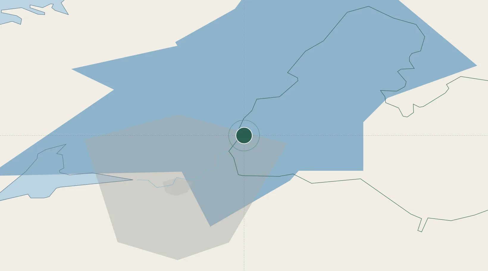
Place type
Populated place
Region
Munster
Population
2,442
Time zone
Europe/Dublin
Elevation
41 m
Location
Nearby Logistics Neighbours
Cities
- 1Murroe17 km
- 2Nenagh18 km
- 3Shannon30 km
- 4Clarecastle35 km
- 5Gort37 km
Airports
- 1Shannon Airport35 km
- 2Inisheer Aerodrome78 km
- 3Inishmaan Aerodrome83 km
- 4Connemara Regional Airport84 km
- 5Inishmore Aerodrome89 km
Trade Zones
DatabookThe Record of Consolidated Knowledge
Ireland beyond logistics?